Region
New Zealand Live Cameras — 11 official webcams
Eleven volcano cameras published by GeoNet, mostly on the North Island — Ruapehu, Tongariro, Taranaki and others. Being in the southern hemisphere, the seasons run opposite to Japan's.
What you can see
All eleven belong to GeoNet, New Zealand's earthquake and volcano monitoring network. They are there to watch the state of a volcano, not to show a view, which is why several mountains appear more than once: Mount Ruapehu has three cameras — north, east and south — and Mount Tongariro has two, one on the whole mountain and one on the Te Maari crater. Because the wind decides which way the steam goes, the angles are deliberately spread.
The two coastal cameras, at Whakatane and Te Kaha, are not there for the sea: they watch Whakaari (White Island) offshore. Raoul Island is an uninhabited volcanic island about 1,000 km north of the mainland, kept under watch remotely because nobody is there.
11 cameras in New Zealand
All 11 are still images. Tap one to open it in the camera list.
-
 Sample August 2026
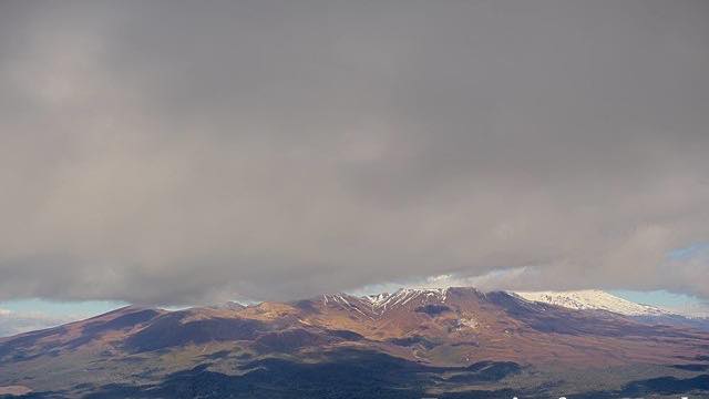
Mount Tongariro
North Island · Volcano
An active volcano with a line of craters along its top, at the heart of the World Heritage Tongariro National Park. The ground around it is bare volcanic rubble.
-
 Sample August 2026
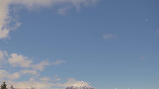
Mount Ngauruhoe
North Island · Volcano
A near-perfect stratovolcano cone. Striking under snow, and familiar to many people from film.
-
 Sample August 2026
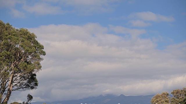
Mount Taranaki
North Island · Volcano
A cone standing alone above a coastal plain. The hours when the summit is not in cloud are not many.
-
 Sample August 2026
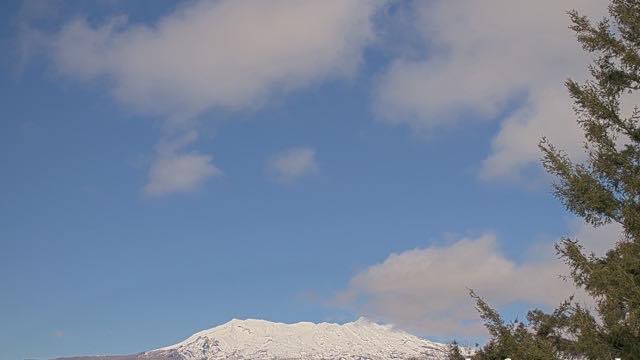
Mount Ruapehu, north
North Island · Volcano
The highest peak on the North Island, holding a crater lake at its top. There are ski fields here, and the camera tracks the lake level and the steam.
-
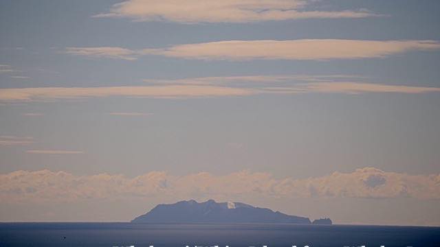 Sample August 2026
Whakatane coast
North Island · Volcano · Sea
A monitoring camera looking from the Bay of Plenty shore out towards Whakaari (White Island).
-
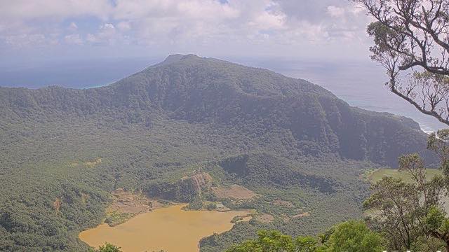 Sample August 2026
Raoul Island
Kermadec Islands · Volcano
An uninhabited volcanic island about 1,000 km north of the mainland. The camera is there so it can be watched from a distance.
-
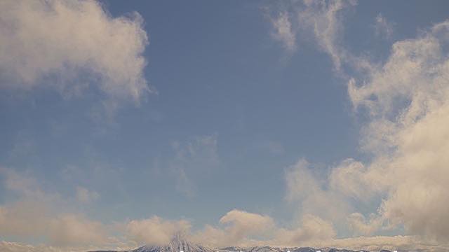 Sample August 2026
Ngauruhoe and Tongariro
North Island · Volcano
A frame wide enough to hold both the cone of Ngauruhoe and the crater line of Tongariro, which shows how close together they are.
-
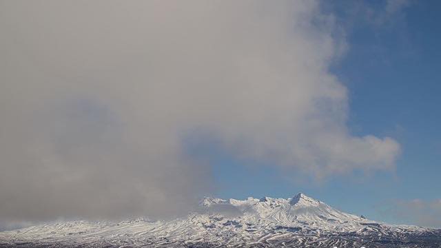 Sample August 2026
Mount Ruapehu, east
North Island · Volcano
The same crater-lake summit seen from the eastern flank. Snow lies differently here than it does on the northern view.
-
 Sample August 2026
Mount Ruapehu, south
North Island · Volcano
The mountain from the south. Several angles exist because the wind decides which way the steam drifts.
-
 Sample August 2026
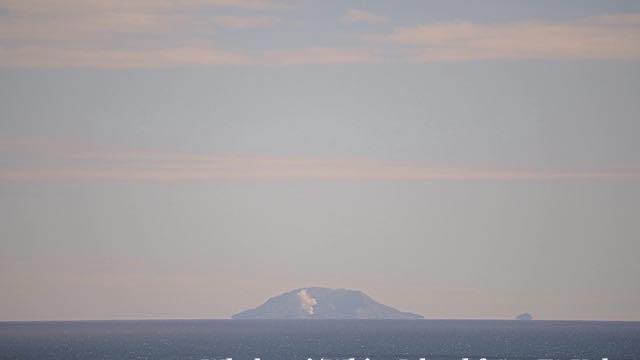
Te Kaha coast
North Island · Volcano · Sea
A camera on the eastern Bay of Plenty coast watching out towards Whakaari (White Island), from further east than the Whakatane view.
-
 Sample August 2026
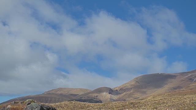
Te Maari craters, Mount Tongariro
North Island · Volcano
A close view of the craters that erupted in 2012, kept there to show whether the amount of steam has changed.
When to watch
The seasons are inverted. August, high summer in Japan, is winter in New Zealand and the mountains are under snow. Open them in the Japanese winter and it is summer down there. This is the only place on the site where you can watch the year run backwards.
New Zealand is three hours ahead of Japan, four during daylight saving. So 9 a.m. in Japan is the middle of their day, and a Japanese evening is their night. For local daylight, open these in the Japanese morning.
Ruapehu is covered from three directions and Tongariro from several, crater included. It is one of the few chances here to compare one mountain from different angles.
Closer looks at cameras here
- Tongariro National Park7
- Whakaari / White Island2
- Taranaki and Raoul Island2
- Volcanic lakes11
- Snow23
Agencies publishing the cameras on this page
- GeoNet New Zealand (CC BY 3.0 NZ) — Official site
The footage belongs to each agency. This site is an unofficial guide, and each sample frame was copied once per camera under that agency's terms of use.