Volcano
The Izu Islands: 7 Live Cameras in Japan
A chain of volcanoes running south from Tokyo Bay. Seven cameras, from the seafloor vents off Ito to Aogashima. Every island here is administratively part of Tokyo.
What you can see
The Izu Islands are not a scattering of islands. They are a single volcanic chain along the edge where the Philippine Sea Plate goes down, and the islands are simply the parts of that chain that reach above water. All of them belong to Tokyo Metropolis, even the ones 350 km out.
This page runs north to south. The Higashi-Izu volcano group is the only one on the mainland, near Ito in Shizuoka. There is no single mountain here — small craters are scattered across the land and the seabed alike, and in 1989 an eruption offshore built a new submarine cone called Teishi Knoll.
Then the islands. Izu-Oshima is one volcano from shore to shore; its 1986 eruption took every resident off the island. Niijima is made of white rhyolite, quarried for building stone for centuries. Kozushima has a written record of the eruption that built Mount Tenjo in 838. Miyakejima erupted in 2000 and then kept venting volcanic gas for so long that islanders lived elsewhere for more than four years. Hachijojima is two volcanoes grown together, and Aogashima is a caldera with another cone standing inside it.
All seven are Japan Meteorological Agency volcano-monitoring cameras, refreshing a still image every two minutes. They are not scenery cameras: the framing is fixed on the crater or the edifice and never moves.
Cameras you can watch now: 7
All 7 are still images. Tap one to open it in the camera list.
-
 Sample August 2026
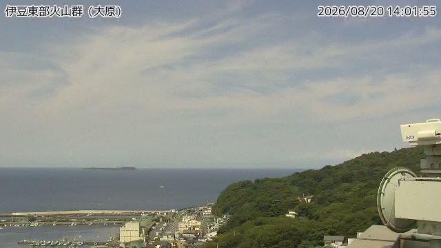
Izu East volcano group
Ito, Shizuoka · Volcano · Sea
A cluster of monogenetic volcanoes with small craters scattered on land and under the sea. A 1989 submarine eruption off Ito built the Teishi Knoll.
-
 Sample August 2026
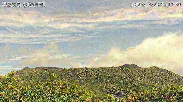
Izu Oshima
Oshima, Tokyo · Volcano · Sea
The 1986 eruption evacuated every resident off the island. The camera looks at the Mount Mihara caldera from the northwest rim.
-
 Sample August 2026
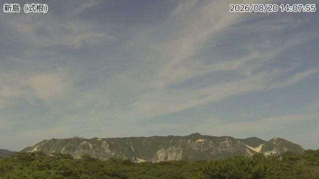
Niijima
Niijima, Tokyo · Volcano · Sea
An island of white rhyolite, long quarried for building stone. The camera faces neighbouring Shikinejima.
-
 Sample August 2026
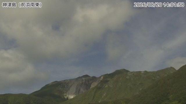
Kozushima
Kozushima, Tokyo · Volcano · Sea
An island where the record shows Mount Tenjo was formed in an eruption in 838. The view from Maehama beach takes in the pale rock face and the harbour.
-
 Sample August 2026
Miyakejima
Miyake, Tokyo · Volcano · Sea
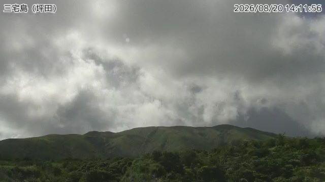
Volcanic gas kept coming after the 2000 eruption, and islanders lived off the island for more than four years. The camera is on the southeast side.
-
 Sample August 2026
Hachijojima
Hachijo, Tokyo · Volcano · Sea
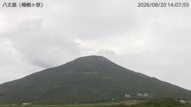
An island made where two volcanoes, Hachijo-Fuji and Mount Mihara, joined. From the high ground the camera sits on, slope and sea run on together.
-
 Sample August 2026
Aogashima
Aogashima, Tokyo · Volcano · Sea
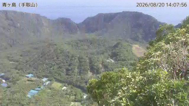
A double caldera with another hill rising inside the first. It has the smallest population of any inhabited island in Japan.
When to watch
Assume cloud. There is nothing but ocean around these islands, so moist air runs straight into them and sits on the mountains. Through the rainy season and summer you can open all seven and get seven white rectangles.
Winter is the season. After the northwest monsoon has blown through, the air dries out and you get island outlines and open sea. And because Hachijojima and Aogashima are much further south, they hold daylight longer — if you are looking in the late afternoon Japan time, start from the southern end.
Time of day: early morning. Steam and gas show up white and dense when the air is cold, and thin out as the sun gets up. By afternoon, air lifted up the slopes often turns to cloud that hides the summit specifically.
Late summer into autumn is typhoon season, and these islands are on the track. The picture goes dark and raindrops smear the lens. That is less a view than a way of checking how rough it is out there.
If it isn't showing
All seven are Meteorological Agency monitoring cameras: stills every two minutes, nothing at night. The framing is there to watch the volcano, not to show island life or the harbour. The Niijima camera faces neighbouring Shikinejima, so Niijima itself never appears in it.
One of the seven is not on an island at all. The Izu East volcano group camera is at Ito on the Shizuoka mainland; the other six are the Tokyo islands. This is the only page that lines them all up, from the Izu Peninsula out to Aogashima.
The Izu Oshima camera is also on the Izu Oshima page. The nearest volcanoes back on the mainland are on Owakudani, Hakone and Mount Fuji.
Where to find The Izu Islands
Agencies publishing the cameras on this page
- Japan Meteorological Agency — volcano surveillance cameras (PDL 1.0) — Official site
The footage belongs to each agency. This site is an unofficial guide, and each sample frame was copied once per camera under that agency's terms of use.