Region
Yamanashi Live Cameras in Japan — 2 official webcams
Mount Fuji seen through the trees from a flux research site on its northern foot, and a live stream of the Fujikawa, the river that gathers the water off those slopes and drops it into Suruga Bay. Both cameras are watching Fuji's water and forest.
What you can see
One of the two is from the Ministry of the Environment; the other is a river live stream from the transport ministry.
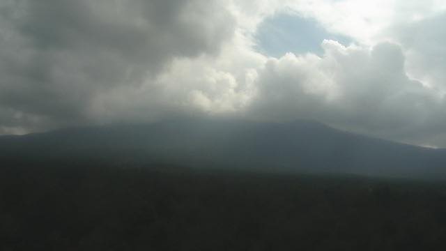
Mount Fuji from the Fuji Hokuroku flux observation site sits at a research station that measures how much carbon dioxide the forest takes up. The framing is nothing like a postcard view: there are trees in the foreground. The camera is there to measure rather than to show, so the frame never moves and only the colour of the wood changes with the season. It is a still image that refreshes once an hour.
The other, the Fujikawa, is video. It gathers the water of the Southern Alps and the foot of Fuji and drops it into Suruga Bay, and is counted among the three swiftest rivers in Japan. The gradient carries stone all the way down, and the broad bed of pale gravel is plain even on screen. One stream cycles through several cameras.
The two sit far apart, but what they watch is connected. Rain and snow falling on Fuji soak into the ground, come back out as spring water, and gather into rivers like this one on the way to the sea. The wood in front of the observation camera is the side that catches that water.
2 cameras in Yamanashi
1 video, 1 still. Tap one to open it in the camera list.
-
 Sample September 2026
Mount Fuji from the northern flux site
Fujiyoshida, Yamanashi · Nature
A camera at a research site measuring how much carbon dioxide the forest takes up. Fuji through the trees — not the postcard composition.
-
Live video, rotating
Fuji River
Yamanashi–Shizuoka · River
A river that gathers water from the Southern Alps and the foot of Mount Fuji and drops into Suruga Bay. It is counted among Japan's three swiftest rivers, with wide beds of pale gravel.
When to watch
The flux site camera tells the season through the colour of the wood: new leaf in May, autumn colour from late October into early November. Once the leaves are down you can see Fuji through the branches, so winter is the better season for the shape of the mountain. Fuji usually takes its first snow around October and loses it around July.
The Fujikawa carries the most water from June to October, when the rainy front and the typhoons overlap. It is a swift river: heavy rain in the Southern Alps muddies the water downstream the same day. The rest of the time the flowing channel is narrow and the white stone bed is wide open.
Cloud builds over both places through the afternoon. For Mount Fuji itself, open them in the morning.
Closer looks at cameras here
Agencies publishing the cameras on this page
- MLIT river live streams (Government Standard Terms 2.0) — Official site
- Ministry of the Environment — Internet Nature Institute (PDL 1.0) — Official site
The footage belongs to each agency. This site is an unofficial guide, and each sample frame was copied once per camera under that agency's terms of use.