Volcano
The Volcanoes of Tohoku: 8 Live Cameras in Japan
Eight monitored volcanoes across northern Honshu, from Aomori down to Fukushima, ordered north to south. Meteorological Agency cameras, so the summits stay in frame all day.
What you can see
The volcanoes of Tohoku sit along a single spine, the Ou range, running north to south. Hakkoda, Akita-Yakeyama, Kurikoma, Azuma and Adatara are all on that line. Open them in order and you can watch snow cover and cloud shift as you move down the country on the same day.
Two of the eight sit off the line. Iwaki stands alone on the Tsugaru plain with nothing behind it, so the whole cone fits in the frame. Chokai rises almost straight out of the Sea of Japan and takes the damp air coming off the water, which means more cloud than the inland peaks get on the same day.
These are not only summit views. At Jigoku-numa on Hakkoda and at Akita-Yakeyama the cameras point at ground that is steaming directly. Azuma has the Oana crater venting near Jododaira, and Adatara shows Numanotaira, a bare crater floor west of the summit that reads as a completely different colour from the green around it.
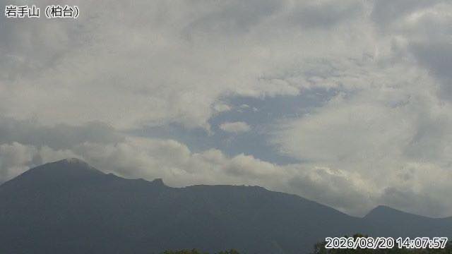
Iwate is two mountains depending on where you stand. From the west it is a clean cone — locals call it the Nambu Fuji. The eastern side is a ragged ridge. This camera is on the western side.
Cameras you can watch now: 8
All 8 are still images. Tap one to open it in the camera list.
-
 Sample August 2026
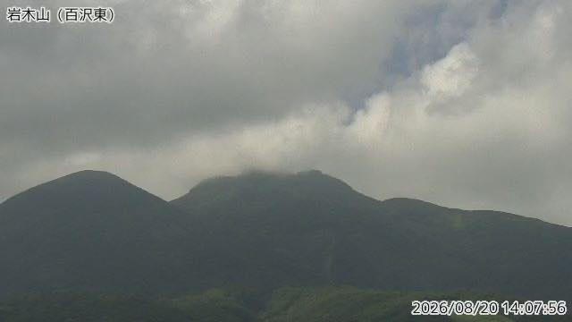
Mount Iwaki
Hirosaki, Aomori · Volcano · Nature
A free-standing peak visible from anywhere on the Tsugaru plain. Its long, spreading flanks above the apple orchards are a familiar sight.
-
 Sample August 2026
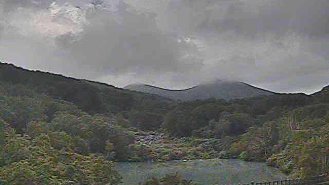
Jigokunuma, Hakkoda
Aomori · Volcano · Nature
A pond beside Sukayu hot spring, clouded by steam and hot water. Sulphur hangs in the air, and in winter snow and steam mix together.
-
 Sample August 2026
Mount Iwate
Iwate · Volcano · Nature
Rising northwest of Morioka, also called Nambu-Fuji. A clean cone from the west, a ragged ridge from the east — the outline is entirely different.
-
 Sample August 2026
Akita Yakeyama
Akita · Volcano
The mountain behind the strong hot springs at Tamagawa and Goshogake. Hot pools and vents are scattered over the summit, with steam coming straight out of the ground.
-
 Sample August 2026
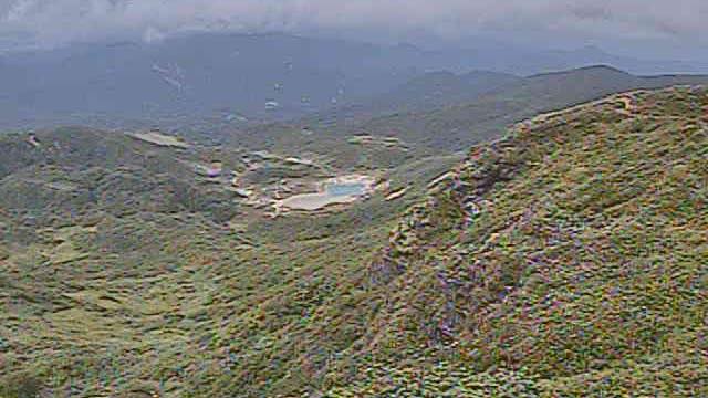
Mount Kurikoma
Iwate / Miyagi / Akita border · Volcano · Nature
A volcano on the border of Iwate, Miyagi and Akita, updated every two minutes by the Japan Meteorological Agency. A pale blue pond sits in a hollow among the green slopes. Autumn colour runs from late September into October, working down the slope from the top.
-
 Sample August 2026
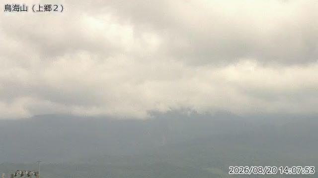
Mount Chokai
Yamagata / Akita border · Volcano · Nature
A mountain that rises almost straight from the Sea of Japan, also called Dewa-Fuji. Snow lasts late, leaving white streaks on the slopes into summer.
-
 Sample August 2026
Mount Azuma
Fukushima / Yamagata border · Volcano
Crossed by the Bandai-Azuma Skyline. Oana crater near Jododaira still vents steam, and its activity rises and falls in cycles.
-
 Sample August 2026
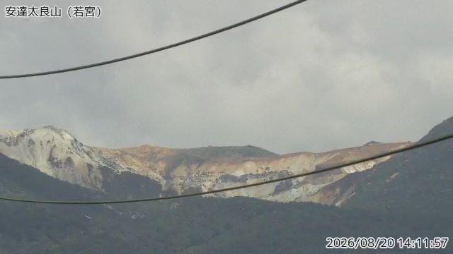
Mount Adatara
Fukushima · Volcano · Nature
Known from a poem by Kotaro Takamura. Numanotaira, west of the summit, is a bare crater floor — a completely different colour from the green around it.
When to watch
October is the month with the most to see. Autumn colour moves from north to south and from high ground downward, so opening all eight from the top shows you how far the band has travelled. Kurikoma in particular turns hard from late September, working down the slope.
Spring snow is the other Tohoku speciality. Chokai holds snow late; white streaks stay on its flanks into summer, and in June several of these peaks still show readable snow patterns.
Go in the morning. Cloud builds over these mountains in the afternoon and the summits often disappear after midday. Winter days are short — in December it is dark before 4pm. All eight refresh every two minutes, so waiting for a gap in the cloud and reloading works.
How much steam you see depends on temperature. Jigoku-numa and Akita-Yakeyama both look thicker on cold days and thin in summer at the same output. A sudden increase is usually the weather, not the volcano.
If it isn't showing
All eight are Japan Meteorological Agency monitoring cameras: stills every two minutes, nothing at night. The framing is not there to flatter the mountain. Several point away from the summit and at the steam instead, Hakkoda at the Jigokunuma pond and Adatara at the bare crater floor of Numanotaira.
The eight are split across the prefecture pages: two on Aomori, two on Iwate, one on Akita, one on Yamagata and two on Fukushima. A mountain on a border is counted under the first prefecture listed for it, so Kurikoma does not appear on the Miyagi page. This is the only page that holds all eight at once.
Four of the eight are also on First Snowcap and two on Autumn Leaves. The other mountains of Tohoku are on Mount Bandai, Okama, Mount Zao and Lake Towada.
Where to find The Volcanoes of Tohoku
Agencies publishing the cameras on this page
- Japan Meteorological Agency — volcano surveillance cameras (PDL 1.0) — Official site
The footage belongs to each agency. This site is an unofficial guide, and each sample frame was copied once per camera under that agency's terms of use.