Region
Niigata Live Cameras in Japan — 4 official webcams
Mount Niigata-Yakeyama from the Meteorological Agency, plus three river live streams from the transport ministry covering the Shinano, the Agano, the Hime and more — snow country rivers, gathered in one place.
What you can see
One of the four is a volcano camera from the Japan Meteorological Agency; the other three are river live streams from the transport ministry. This is the only prefecture here with a single still camera and everything else on video.
Mount Niigata-Yakeyama stands north of the Myoko range and is under constant watch. As lava domes go it is a young mountain, and steam rises from the summit area. It carries less vegetation than the peaks around it, so it reads paler and is easy to pick out of the skyline. This one is a still image that refreshes every two minutes.
The three river streams each take a basin of a different character. The Shinano river system is the longest river in Japan; inside Nagano it is called the Chikuma and it becomes the Shinano on crossing into Niigata, so upstream and downstream of the same river trade places within one stream. The Arakawa and Agano river systems cover the Arakawa in the north of the prefecture and the Agano, which rises in the Aizu country of Fukushima and cuts across the Niigata plain. The Seki, Hime and Kurobe river systems are three short, steep rivers with little distance between mountain and sea: the Hime carries Itoigawa jade downstream, and the Kurobe takes the snowmelt of the Tateyama range out onto its alluvial fan.
All three cycle through several cameras within one stream, so leave one open a little longer if there is a particular point you want.
4 cameras in Niigata
3 video, 1 still. Tap one to open it in the camera list.
-
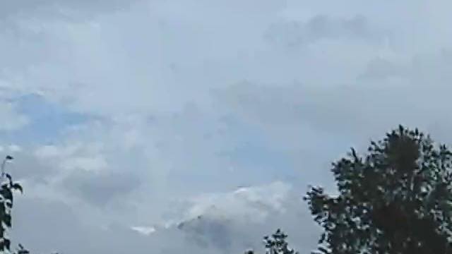 Sample September 2026
Niigata Yakeyama
Niigata · Volcano
A relatively young lava dome north of the Myoko group. Steam rises from the top, and it looks paler than the mountains around it.
-
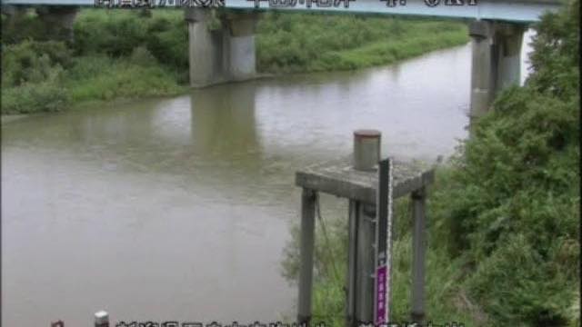 Stream cover
Ara and Agano river systems
Niigata–Fukushima · River
The Arakawa in northern Niigata, and the Aganogawa, which flows out of the Aizu basin in Fukushima and crosses the Niigata plain. Both drain snowy country and swell in the spring melt.
-
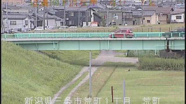 Stream cover
Shinano river system
Niigata–Nagano · River
The longest river in Japan. In Nagano it is called the Chikumagawa, and it becomes the Shinanogawa on entering Niigata. Upstream and downstream of one river alternate within a single stream.
-
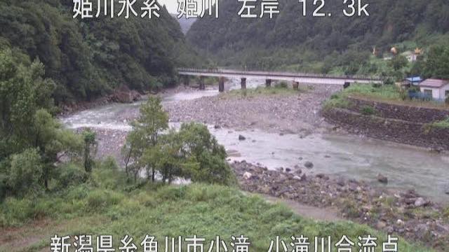 Stream cover
Seki, Hime and Kurobe river systems
Niigata–Toyama · River
Three steep rivers with only a short distance from mountain to the Sea of Japan. The Himekawa carries Itoigawa's jade downstream, and the Kurobegawa spills snowmelt from the Tateyama range onto its alluvial fan.
When to watch
Rivers in Niigata run on a different calendar from most of Honshu. They move most in April and May, with the snowmelt: the snow lying across the basin lets go at once, so the level rises without rain falling and the water runs milky. Next is July to October, through the rains and the typhoons.
In winter it is the snow around the river rather than the river that is worth watching. Floodplain and levee go white together, and only the moving water stays dark, so the channel reads more clearly than it does the rest of the year.
Mount Niigata-Yakeyama takes snow through the winter, and the steam gets lost against the white slope. For the shape of the plume, summer and autumn are more reliable. Being a still image, it is close to black at night.
Closer looks at cameras here
Agencies publishing the cameras on this page
- Japan Meteorological Agency — volcano surveillance cameras (PDL 1.0) — Official site
- MLIT river live streams (Government Standard Terms 2.0) — Official site
The footage belongs to each agency. This site is an unofficial guide, and each sample frame was copied once per camera under that agency's terms of use.