Region
Yamaguchi Live Cameras in Japan — 6 official webcams
Six river live streams from the transport ministry: three on the Saba at Hofu, three on the Oze, which runs along the Hiroshima border. One river held at intervals along its length.
What you can see
All six are river live streams from the Chugoku bureau of the transport ministry. Each holds one fixed point, so there is nothing to wait for.
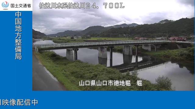
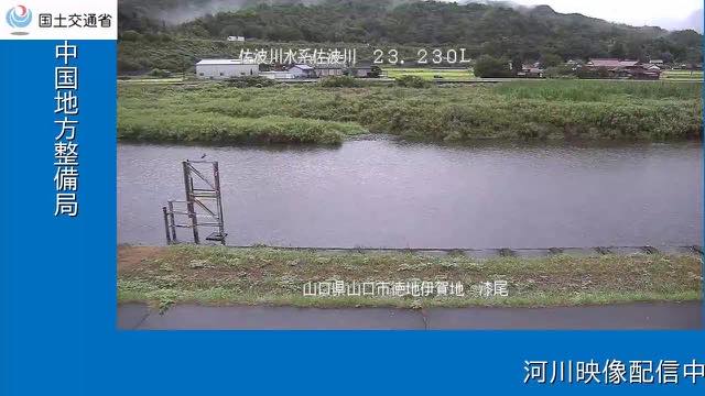
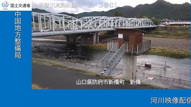
Three are on the Saba, which reaches the Inland Sea at Hofu: Hori at the 24.7 kilometre mark from the mouth, Urushio at 23.2, and Shin Bridge at 6.4. The upper two are only 1.5 kilometres apart, so they show the same water twice over, and then nothing for nearly seventeen kilometres down to Shin Bridge — two cameras too close together and one far away.
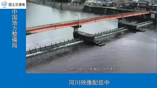
The other three are on the Oze, a border river whose right bank is Yamaguchi and left bank Hiroshima: the Nakaichi weir filmed from the right bank, the camera at the Kino warning station built to give notice of rising water, and one from the ministry's own field office. The weir and the office are about two kilometres apart, both toward the lower end of the river.
The six sit at the eastern and western edges of the prefecture. Because the Oze also collects water from the Hiroshima side, its level can rise when no rain has fallen in Yamaguchi at all.
6 cameras in Yamaguchi
All 6 are live video. Tap one to open it in the camera list.
-
 Stream cover
Saba River, 24.7 km
Yamaguchi · River
The Saba River, which reaches the Seto Inland Sea at Hofu, at the 24.7 kilometre mark from its mouth. The furthest upstream of the ministry's three cameras on this river.
-
 Stream cover
Saba River, 23.2 km
Yamaguchi · River
The Saba River at the 23.2 kilometre mark. Only 1.5 kilometres separate it from the camera just upstream.
-
 Stream cover
Saba River, 6.4 km
Yamaguchi · River
The Saba River 6.4 kilometres from its mouth, at Shin Bridge, close to the built-up part of Hofu.
-
 Stream cover
Oze River, Nakaichi weir
Yamaguchi / Hiroshima border · River
The Nakaichi weir on the Oze River, which runs along the border between Hiroshima and Yamaguchi, filmed from the right bank.
-
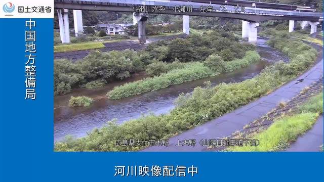 Stream cover
Oze River, warning station
Yamaguchi / Hiroshima border · River
A camera at a warning station on the Oze River. A facility built to give notice of rising water doubles as the streaming point.
-
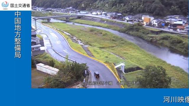 Stream cover
Oze River, field office
Yamaguchi / Hiroshima border · River
The Oze River seen from the ministry's field office. On this river the right bank is Yamaguchi and the left bank Hiroshima.
When to watch
The six move most from June to July, in the rainy season, and from August to September, when the typhoons come. Yamaguchi sits at the western end of Honshu, so rain from typhoons passing south of Kyushu reaches it too.
The upper two cameras on the Saba are 1.5 kilometres apart, so putting them together after rain shows just how little time the same water takes to travel between them. The Oze rises on rain that fell in Hiroshima, so Yamaguchi's own weather will not tell you what it is doing.
Agencies publishing the cameras on this page
- MLIT river live streams (Government Standard Terms 2.0) — Official site
The footage belongs to each agency. This site is an unofficial guide, and each sample frame was copied once per camera under that agency's terms of use.