Region
Saga Live Cameras in Japan — 3 official webcams
Three cameras, on the Matsuura, Rokkaku and Kase. All are ministry river cameras, and between them they cover rivers draining into two very different seas — the Ariake and the Genkai.
What you can see
All three are river cameras from the Ministry of Land, Infrastructure, Transport and Tourism, and all three are video. Unlike a still camera there is nothing to wait for — the movement of the water is simply there.
The three rivers are quite different from one another. The Matsuura crosses the Karatsu plain to the Genkai Sea, and sandbars have built up near its mouth. The Rokkaku has an extremely slight gradient, and the tide of the Ariake Sea pushes far inland along it. The Kase waters the Saga plain, and its floodplain is broad enough to host a hot-air balloon championship.
One of the four drains into a different sea. The Matsuura runs north to the Genkai Sea, while the Rokkaku, Kase and Chikugo head south to the Ariake Sea. A watershed runs through the prefecture, and the difference shows on screen. The Ariake's spring tidal range is about six metres against roughly two on the Genkai side — a different order of magnitude. The three southern cameras show the level rising and falling within a single day even with no rain; on the Matsuura in the north that movement is far smaller.
3 cameras in Saga
All 3 are live video. Tap one to open it in the camera list.
-
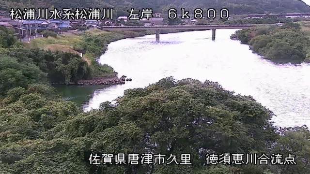 Sample August 2026
Matsuura River
Karatsu, Saga · River
It crosses the Karatsu plain to the Genkai Sea. Sandbars build near the mouth, and the look of it changes with the tide.
-
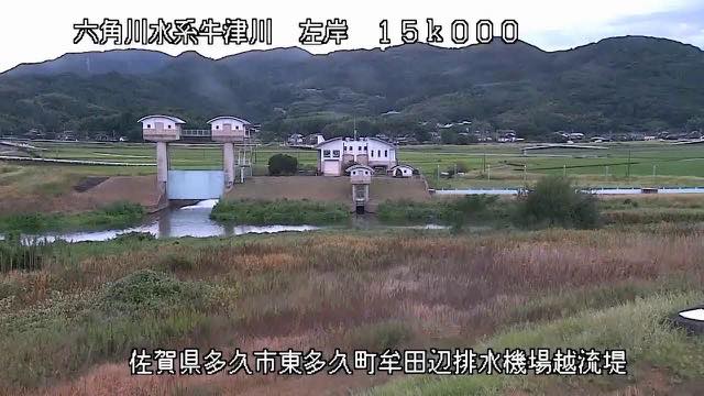 Sample August 2026
Rokkaku River
Takeo–Shiroishi, Saga · River
Its gradient is so slight that the Ariake tide pushes far inland. You can watch muddy water travel upstream.
-
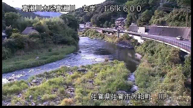 Sample August 2026
Kase River
Saga · River
The river that waters the Saga plain. Its floodplain hosts a hot-air balloon competition, and in autumn a wide expanse of grass appears.
When to watch
The Rokkaku drains into the Ariake Sea, which has the largest tidal range in Japan, and it feels it. Watching the water level swing with the tide is the point of this camera. The Matsuura, by contrast, runs to the Genkai Sea, and the Kase crosses the Saga plain to the Ariake.
River cameras are water-level monitoring equipment. They come under load in heavy rain, so there is a case for staying off them then and leaving capacity to the people who need them.
Closer looks at cameras here
Agencies publishing the cameras on this page
- MLIT river live streams (Government Standard Terms 2.0) — Official site
The footage belongs to each agency. This site is an unofficial guide, and each sample frame was copied once per camera under that agency's terms of use.