Region
Saitama Live Cameras in Japan — 3 official webcams
Two river cameras on the Arakawa: Sasameba Bridge in Toda and Shin-Arakawa Bridge in Kawaguchi. Both look across at Tokyo — this is the stretch where the river is the border. On top of that there is one live stream of the Arakawa and Iruma rivers.
What you can see
The two still cameras were placed by the Ministry of Land, Infrastructure, Transport and Tourism to watch water levels on the Arakawa, each fixed on the upstream or downstream side of a bridge. They are not there to show you a view, and the frame reflects that — what governs it is the kilometre marker counting back from the river mouth.
Sasame Bridge is at 28.8 km, Shin-Arakawa Bridge at 21.4 km. The far bank at Shin-Arakawa is Kita ward in Tokyo: the river itself is the prefectural border. The seven cameras downstream are gathered on the Tokyo page, so open both if you want to follow the water down to the sea.
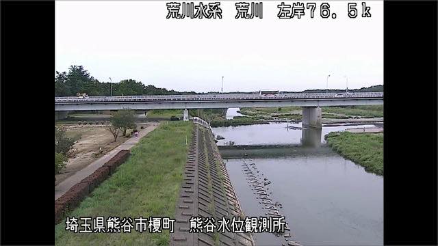
The third camera, the Arakawa and Iruma rivers, is a live stream. It cycles through several points on the Arakawa coming down from the Chichibu mountains and the Iruma, which joins it on the way. Along the middle reach the levees stand more than 2.5 km apart — the widest river channel in Japan. That is well upstream of what the other two cameras see.
3 cameras in Saitama
1 video, 2 still. Tap one to open it in the camera list.
-
 Sample September 2026
Ara and Iruma rivers
Saitama–Tokyo · River
The Arakawa comes down from the Chichibu mountains to Tokyo Bay, joined on the way by the Irumagawa. Midstream there is a reach more than 2.5 km between the levees, said to be the widest river channel in Japan.
-
 Sample August 2026
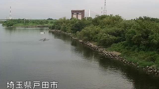
Sasame Bridge
Toda, Saitama · River
28.8 km from the river mouth. Where National Route 17 crosses the Arakawa, seen from the Toda side. From here down, the floodplain stays wide the whole way.
-
 Sample August 2026
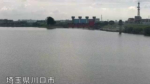
Shin-Arakawa Bridge
Kawaguchi, Saitama · River
21.4 km from the mouth. Route 122's Shin-Arakawa Bridge from the Kawaguchi side. The far bank is Kita ward, Tokyo — the river is the prefectural border.
When to watch
Both belong to the Arakawa-Karyu River Office of the Ministry of Land, Infrastructure, Transport and Tourism, and both refresh a still image every minute. Sasameba Bridge (Toda, 28.8 km from the mouth) carries the Shin-Omiya Bypass of Route 17 across the river, with Itabashi Ward on the far bank. Shin-Arakawa Bridge (Kawaguchi, 21.4 km) carries Route 122, with Akabane in Kita Ward opposite.
These two are the upstream end of the line of cameras on the lower Arakawa. Ten of them run down to Shinsuna at the river mouth, so in heavy rain you can work down the Arakawa page from the top and follow the water rising.
On an ordinary day, the floodplain is the thing to watch. On the Saitama side the levees are set far apart, leaving a long run of sports grounds and rough grass. That is what goes under first when the river rises, so you can see the change without reading a single gauge. Morning and late afternoon avoid the worst glare and let you see the far bank.
The Arakawa and Iruma stream is busiest from June to October, when the rainy front and the typhoons overlap. On the wide middle reach most of the channel is dry grassland on an ordinary day, and that is what goes under when the river rises.
Closer looks at cameras here
Agencies publishing the cameras on this page
- MLIT Arakawa Downstream River Office (PDL 1.0) — Official site
- MLIT river live streams (Government Standard Terms 2.0) — Official site
The footage belongs to each agency. This site is an unofficial guide, and each sample frame was copied once per camera under that agency's terms of use.