Volcano
Volcano live cameras: steam or cloud
Of the 458 cameras on this site, 96 are pointed at volcanoes. Some of them look like scenic viewpoint cameras, but most were not installed to show you the view. This is about what they are there for, and how to tell whether the white thing on screen is a volcanic plume or just cloud.
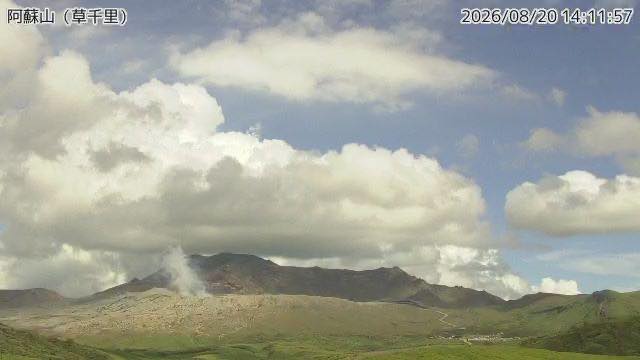
Volcano cameras exist to cover the hours nobody can be there
The difficult part of monitoring a volcano is that the moment something changes, there is no guarantee anyone is present. Seismometers and tiltmeters turn underground movement into numbers, but the things you grasp instantly by eye — how much white smoke is rising from the summit, how far the ejected rock flew — do not become numbers. And nobody is going to stand a person on the crater rim in the middle of the night or in a blizzard.
So a camera keeps facing the crater in place of a human eye. It refreshes a still image every few minutes and accumulates years of "how it usually looks". When something unusual happens, what carries meaning is not that day's image on its own but how it differs from the usual. Which is why most volcano cameras never change their framing. The value lies in shooting the same composition indefinitely.
As a viewing experience, that is a slightly dull property. No zoom, no pan. But the dullness is exactly what makes it correct as an instrument, and if you watch with the intent of finding "what is different about today", it becomes interesting fast.
Identifying the white stuff
The thing volcano cameras show most often is a white mass. Plume, cloud, steam — or fog on the lens. With practice, a few cues let you guess.
- If the source does not move, it is a plume. Cloud rides the wind and drifts away; a plume keeps issuing from one fixed point, the crater. Wind may tear the shape apart, but the base stays put.
- If it rises and falls along the mountainside, it is cloud. Anything that appears and dissolves while crawling across a slope is almost always cloud formed by air hitting the terrain.
- If the whole frame is uniformly white, the problem is at the lens. Ice, condensation, blizzard. If even the ridgeline has dissolved, suspect the camera rather than the atmosphere.
- Morning and evening are hard to judge. Backlight can make a plume look black, and low cloud can catch the light like smoke. When in doubt, wait and look again.
That said, this identification is a viewer's pastime, nothing more. Actual assessment of volcanic activity is done by the Japan Meteorological Agency and each country's observatories, combining seismic, deformation, gas and other measurements. Please do not read a white screen as a sign of an eruption. For official information, always check the agencies' own announcements.
Japan's volcano cameras
Japan accounts for 56 of them. Of those, 49 are cameras the Japan Meteorological Agency installed for volcano monitoring; the rest are erosion-control cameras from the Ministry of Land, Infrastructure, Transport and Tourism, nature-observation cameras from the Ministry of the Environment, and a stream the Nature Parks Foundation runs from Aso. Even among "volcano cameras", a different ministry means a different target.
JMA — one camera per continuously monitored volcano
The JMA watches 50 volcanoes judged likely to be active around the clock, as "continuously monitored volcanoes". Alongside seismometers and tiltmeters, surveillance cameras are part of that. Latest images are published for 49 of those mountains, refreshing roughly every two minutes.
Some mountains have several cameras, but this site picks one per mountain. Lining up several near-identical angles of the same peak makes them indistinguishable, so we narrowed it to the one that best shows that mountain's character. The result covers Japan's main active volcanoes from Atosanupuri in the north to Suwanosejima in the south.
JMA camera names are blunt, and honest for it. "Kusasenri, Mount Aso" means a camera placed at Kusasenri — the name is a tourist site, but what it is looking at is the crater of Nakadake. Judge by the place name alone and the plainness of the picture may disappoint.
A few worth naming:
- Kuttara, Noboribetsu Jigokudani (Hokkaido) — a valley filled with hot springs and steam in the remains of a crater. Exceptionally among volcano cameras, the walking path with people on it is in frame too. The colder it gets, the thicker the steam.
- Okama, Mount Zao (Miyagi / Yamagata border) — a lake formed by water pooling in the crater. The weather here changes readily, so days when the water surface is clearly visible are not that common. Catching a clear one feels like a win.
- Owakudani, Hakone (Kanagawa) — the valley closed to entry when activity rose in 2015. Steam rises from points all over the slope, making this the definitive camera where "white stuff in the picture" is the normal state.
- Mount Ontake (Nagano / Gifu border) — the 2014 eruption prompted a review of volcano monitoring nationwide. The present network, including this camera, was built out afterwards.
- Kuchinoerabujima (Kagoshima) — the island evacuated entirely after the 2015 eruption, watched here from the Yakushima side as well. An example of how the places with no people, or few, are exactly where a camera is needed.
- Aogashima (Tokyo) — a double caldera with another hill inside it. It has the smallest population of any inhabited island in Japan, and both boats and flights are easily cancelled.
Erosion control and nature observation
The JMA does not have a monopoly on cameras facing volcanoes. The transport ministry points them at the same mountains in preparation for debris flows and ashfall; the environment ministry does it for nature observation; the Nature Parks Foundation does it to introduce a national park.
- Sakurajima surveillance cameras (Kagoshima) — one of the most active volcanoes in Japan, monitored here for erosion-control works. Because the purpose is practical — preparing for ash and debris flows — the framing is locked tightly on the crater and the channels.
- Mount Asama from Tsumagoi (Gunma) — the mountain across the gentle northern skirt. In winter the way snow settles brings the slope's relief into view.
- Manza Karafuki (Gunma) — a fumarole field where steam rises from pale slopes with no vegetation. Unlike a camera on a crater, here the steam comes off the ground itself.
- Mount Nekodake from Minami-Aso (Kumamoto) — Nekodake, known for its jagged ridgeline, seen from inside the Aso caldera.
- Kirishima Range from Ebino Plateau (Miyazaki) — a cluster of volcanoes surveyed from the plateau side.
- Mount Fuji erosion-control cameras (Shizuoka) — also not a tourism camera; it watches the slope including the Osawa collapse.
- Nakadake and Kusasenri, Mount Aso (Kumamoto) — a stream the Nature Parks Foundation runs from Kusasenri. It broadcasts from the same Kusasenri as the JMA camera, but as moving video rather than a still every few minutes.
Mount Fuji and Sakurajima are the only two carrying cameras from both agencies. It looks like duplication, but a volcano-monitoring camera and an erosion-control camera differ in direction and framing. Open Mount Fuji (JMA camera) and Mount Fuji erosion-control cameras back to back and you see how different the same mountain can look.
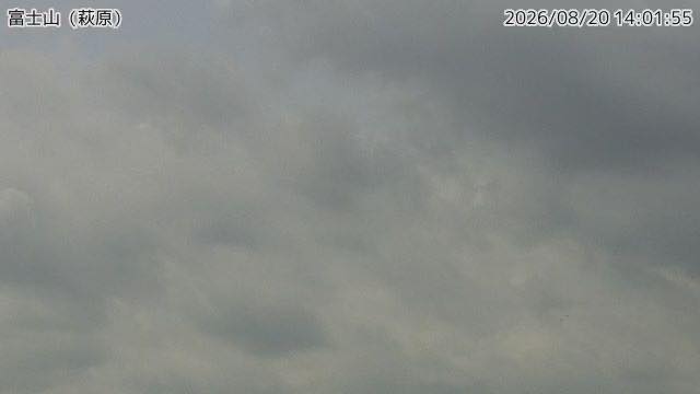
Note that the JMA cameras are not video but stills, refreshed every few minutes. You are looking at a few minutes ago, not this instant. If you want to follow how fast the cloud is moving, leave it a while and open it again.
New Zealand — one mountain from several angles
GeoNet contributes 11 cameras, and the thinking behind them looks different from Japan's: several cameras per mountain. Ruapehu has three — north, east and south — and several more are aimed around Tongariro.
The reason is simple: which way the plume drifts depends on the wind. With a single camera, one standing downwind sees the plume coming toward it and cannot judge the volume. Several angles let you compare regardless. Put Ruapehu north and Ruapehu south side by side on the same day and the lying snow and the cloud cover look completely different — which is quietly fascinating.
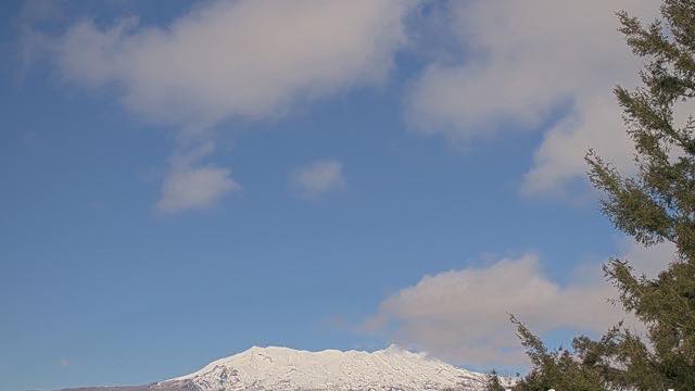
Te Maari craters, Mount Tongariro catches the crater that erupted in 2012 from close range. Mount Taranaki has the clean cone of a freestanding peak, a shape that reminds Japanese viewers of Fuji. Raoul Island is an uninhabited volcanic island far from the mainland; with nobody stationed there, cameras and instruments are all that report on it.
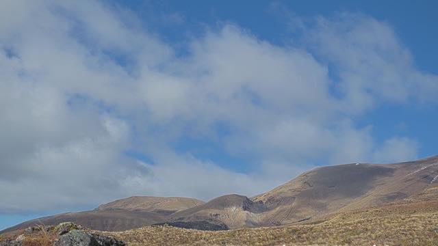
The two coastal cameras, Whakatane coast and Te Kaha coast, look like they are pointed at the sea rather than a mountain, but the target is the offshore volcanic island of Whakaari (White Island). The island is far enough away that you need a clear day with good visibility. If something small and white is standing beyond the water, that is the plume.
Hawaii and the US mainland
Kilauea and Mauna Loa are published by the US Geological Survey's Hawaiian Volcano Observatory. Kilauea's summit crater, Halemaumau, collapsed substantially during the 2018 activity, and eruptions have recurred since. Mauna Loa is among the largest shield volcanoes in the world by volume, but its slope is so gentle that it is too vast to read as a "mountain" on screen.
On the mainland, Mount Rainier National Park and Crater Lake National Park are classified as volcanoes. Rainier is a glaciated stratovolcano whose summit is rarely above the cloud. Crater Lake is water pooled in the hollow left when an ancient eruption brought the mountain down. Watching that still surface now, it is hard to think of it as a volcano, but its origin is unambiguously volcanic.
On when to watch
Unlike city cameras, volcano cameras are essentially black at night. There are no streetlights or signs, so while it is night on site, nothing is legible. Japanese cameras work on Japanese hours, but for the overseas ones, ignore the time difference and you open onto a black rectangle.
As a rule of thumb, morning in Japan is early afternoon in New Zealand, and evening in Japan is morning to midday in Hawaii and on the North American west coast. There is more in reading the time difference.
Volcano cameras are not there to show you a dramatic moment. Their job is to record, every day, that nothing is happening. Open them with that in mind and there is something to see even in a quiet frame.