Region
Kumamoto Live Cameras in Japan — 7 official webcams
Three cameras on Mount Aso — Kusasenri as a still and in 4K video, and Nekodake seen from the south — plus four rivers, the Kikuchi, Shira, Midori and Kuma. The Aso caldera from inside and from the rim.
What you can see
Three of the seven are on the Aso volcano and four are river cameras from the Ministry of Land, Infrastructure, Transport and Tourism — and two of those four lead back to Aso if you follow them upstream.
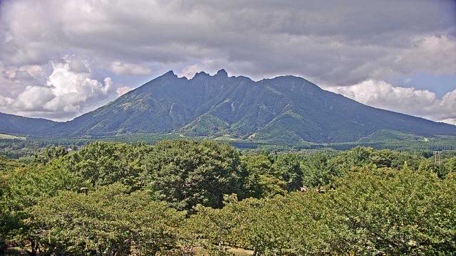
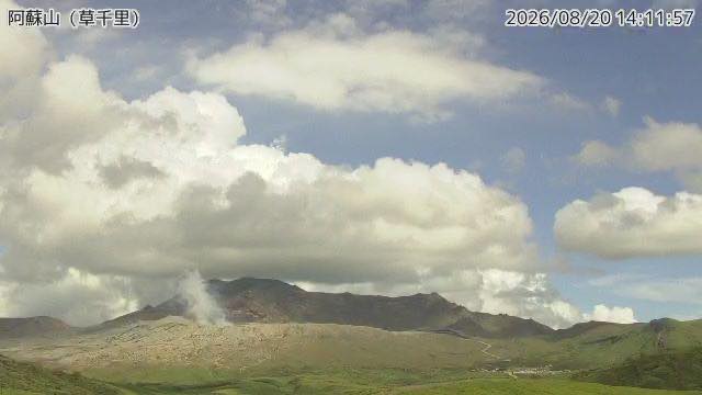
Kusasenri on Mount Aso is grassland spread out in front of the Nakadake crater, an unusual frame that holds volcanic plume and pasture together; there are sometimes horses grazing in it. Nakadake and Kusasenri is a 4K live stream from that same viewpoint, where the plume becomes movement: which way it drifts, and how fast. Mount Neko from South Aso looks up at a jagged rock peak from inside the caldera.
The Shirakawa runs from the Aso caldera through central Kumamoto, and water carrying volcanic ash takes on a distinctive colour when it rises. The Kuma is one of Japan's three fastest rivers, dropping hard through a narrow valley.
7 cameras in Kumamoto
5 video, 2 still. Tap one to open it in the camera list.
-
 Sample August 2026
Mount Nekodake from Minami-Aso
Minami-Aso, Kumamoto · Volcano
The jagged eastern peak of the five Aso mountains, seen looking up from inside the caldera. Cloud drapes and lifts off it all day.
-
 Sample August 2026
Kusasenri, Mount Aso
Aso, Kumamoto · Volcano · Nature
Grassland in front of the Nakadake crater, sometimes with grazing horses. An unusual frame that holds both a volcanic plume and a meadow.
-
 Sample August 2026
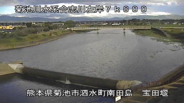
Kikuchi River
Tamana, Kumamoto · River
It rounds the north of the Aso caldera rim on its way to the Ariake Sea. The basin has been rice country since antiquity, with paddies beyond the levees.
-
 Sample August 2026
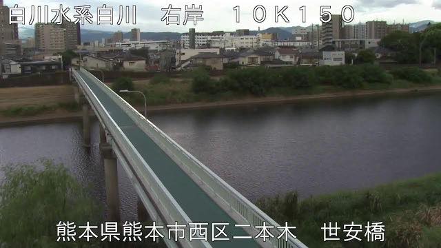
Shira River
Kumamoto · River
From the Aso caldera through central Kumamoto. Carrying volcanic ash, the water takes on a distinctive murk when it rises.
-
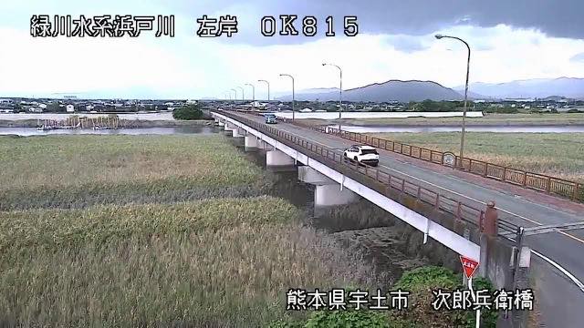 Sample August 2026
Midori River
Uto, Kumamoto · River
It runs south of the Kumamoto plain to the Ariake Sea. Broad tidal flats at the mouth make the river look visibly narrower at low tide.
-
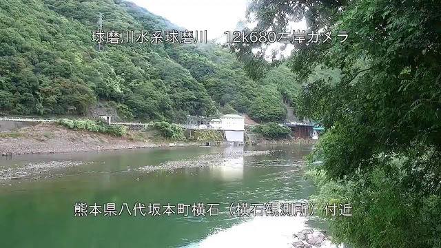 Sample August 2026
Kuma River
Hitoyoshi, Kumamoto · River
One of Japan's three fastest rivers. It drops hard through a narrow valley, so the level climbs quickly after rain.
-
Live video
Mount Nakadake and Kusasenri, Aso
Aso, Kumamoto · Volcano · Nature
A panorama from the Kusasenri viewpoint that runs from the steaming crater of Nakadake across the grassland of Kusasenri-ga-hama. Volcano and pasture in one frame.
When to watch
Kusasenri on Mount Aso is grassland spread across the crater floor, turning from green to dry brown to snow with the seasons. On days when the crater is venting, the wind can carry the plume across the frame. Nekodake has a distinctive jagged ridgeline that makes it the easiest of the five Aso peaks to pick out.
The Shira River runs from the Aso caldera through the city of Kumamoto to the Ariake Sea, so you can see the volcano upstream and the city downstream joined by one water system. The river cameras are monitoring equipment, so go easy on them in bad weather.
Two cameras face Kusasenri, one still and one video. For how much the crater is venting, the still is enough; for where the plume is going and how fast, the video tells you more.
Closer looks at cameras here
Agencies publishing the cameras on this page
- Japan Meteorological Agency — volcano surveillance cameras (PDL 1.0) — Official site
- MLIT river live streams (Government Standard Terms 2.0) — Official site
- Ministry of the Environment — Internet Nature Institute (PDL 1.0) — Official site
- Nature Parks Foundation (Links free, no reuse) — Official site
The footage belongs to each agency. This site is an unofficial guide, and each sample frame was copied once per camera under that agency's terms of use.