Region
Hyogo Live Cameras in Japan — 5 official webcams
Four rivers — the Ina, Maruyama, Kako and Ibo — plus the Higashi-Harima coast. All five are ministry river cameras, and they cover both the Sea of Japan side and the Inland Sea side.
What you can see
All five belong to the Ministry of Land, Infrastructure, Transport and Tourism — four on rivers and one on a coast. Hyogo faces both the Sea of Japan and the Inland Sea, and the line-up shows it.
Only the Maruyama river drains north. It runs through the wetlands where the oriental stork was brought back, and its gradient is so slight that seawater reaches far inland. The Ina, Kako and Ibo rivers all drain south to the Inland Sea. Tobanban coast is not a river at all but a sand beach, where what you watch is wave height and tide.
5 cameras in Hyogo
All 5 are live video. Tap one to open it in the camera list.
-
 Stream cover
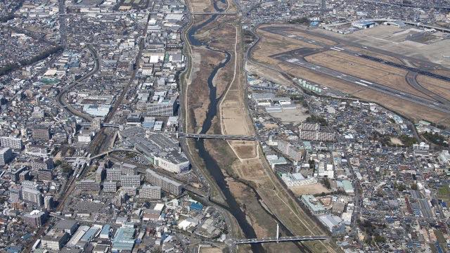
Ina and Mo Rivers
Hyogo / Osaka · River
An urban river running right beside Osaka Airport. Built-up on both banks, with the levees up against where people live.
-
 Stream cover
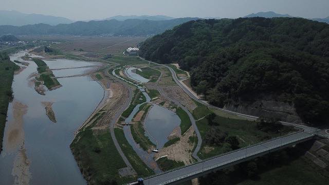
Maruyama and Izushi Rivers
Toyooka, Hyogo · River
Rivers of the wetlands where the oriental stork returned. The gradient is gentle and seawater reaches a long way up from the mouth.
-
 Stream cover
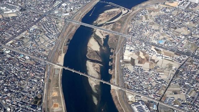
Kako and Manganji Rivers
Kakogawa, Hyogo · River
Running straight south across the Harima plain to the Seto Inland Sea. The mouth sits next to an industrial belt.
-
 Stream cover
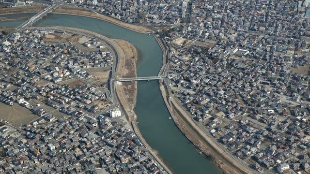
Ibo and Hayashida Rivers
Himeji, Hyogo · River
The clear river behind a famous somen noodle-making area. Water quality upstream is good, and on fine days the surface looks genuinely clear.
-
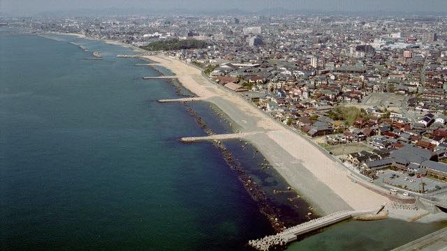 Stream cover
Higashi-Harima coast
Akashi–Kakogawa, Hyogo · Sea
A sandy shore on the Seto Inland Sea. This camera shows coast rather than river, so wave height and tide are what to watch.
When to watch
The Maruyama runs through the Toyooka basin to the Sea of Japan; the rest drain to the Inland Sea. One prefecture lets you compare both sides of the divide. The Sea of Japan side means snow and leaden skies in winter, the Inland Sea side stays mild all year, and the difference shows up plainly on screen.
River cameras exist to watch water levels, so they frame the river tightly. They are also the systems that come under load in bad weather, so there is a case for staying off them then and leaving capacity to the people who need them.
Closer looks at cameras here
Agencies publishing the cameras on this page
- MLIT river live streams (Government Standard Terms 2.0) — Official site
The footage belongs to each agency. This site is an unofficial guide, and each sample frame was copied once per camera under that agency's terms of use.