River
The Rivers of Fukuoka and Saga: 7 Live Cameras in Japan
Seven live streams the Japanese government runs on the rivers of northern Kyushu — the Chikugo, the Onga, the Yamakuni, the Matsuura, the Yabe, the Rokkaku and the Kase.
What you can see
Four of the seven — Chikugo, Yabe, Rokkaku and Kase — drain into the Ariake Sea, which has the largest tidal range in Japan: around six metres at spring tides. That reach runs well inland, so the downstream cameras show the water rising and falling over a day with no rain at all. On a strong flood tide the current can even reverse.
The Rokkaku is the extreme case. Its gradient is so slight that the tide pushes far upstream — you can watch muddy water travelling inland, which is tide, not flood. The same flatness means that in heavy rain the water cannot get out to sea, and the basin floods widely.
The Chikugo is the largest river in Kyushu and has long been called a wild one. In the July 2017 downpour the valleys of its tributaries collapsed in concentrated failures. The Yabe rises in the tea country of Yame; weirs and sluice gates are everywhere along it, and you can see water being deliberately shared out.
The other three go to different seas. The Onga runs through the old Chikuho coal towns to the Hibiki Sea, the Yamakuni cuts the rock spires of Yabakei on its way to the Suo Sea, and the Matsuura crosses the Karatsu plain to the Genkai Sea. The Yamakuni has the biggest contrast on this page: gorge upstream, open plain below.
All seven are rotating streams — one feed cycles through several points along the river, so you may wait a little for the spot you want. The regional bureaus label all of them as test broadcasts.
Cameras you can watch now: 7
All 7 are live video. Tap one to open it in the camera list.
-
 Sample August 2026
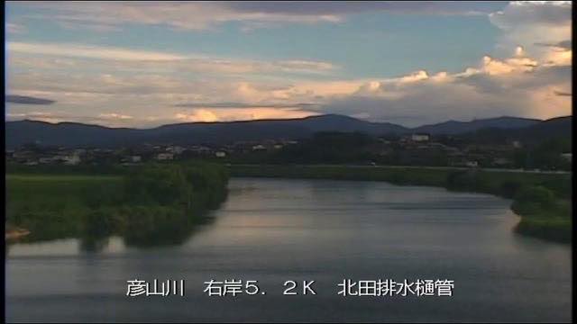
Onga River
Chikuho, Fukuoka · River
A river running through the old Chikuho coal towns to the Hibiki Sea. Wide floodplains on both banks; as the level rises, the sandbars go under first.
-
 Sample August 2026
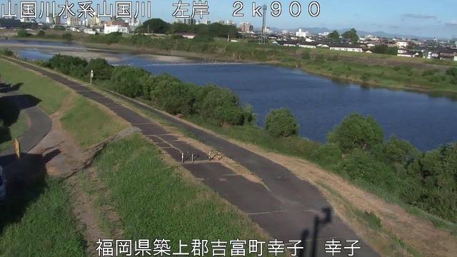
Yamakuni River
Fukuoka / Oita border · River
It cuts through the rock towers of Yabakei on its way to the Suo Sea. Gorge upstream, open plain downstream — a big change in what the cameras show.
-
 Sample August 2026
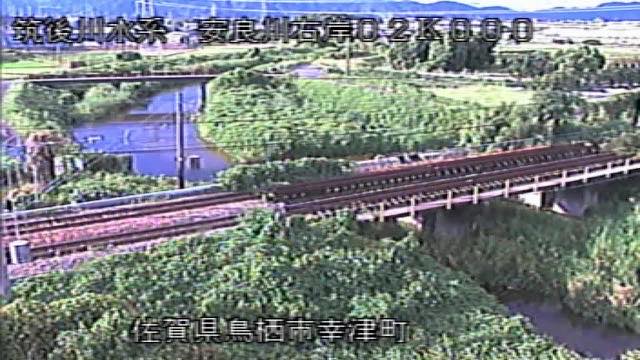
Chikugo River
Fukuoka / Saga / Oita · River
The largest river in Kyushu, nicknamed the wild river. Near the mouth the tides of the Ariake Sea reverse the direction of flow.
-
 Sample August 2026
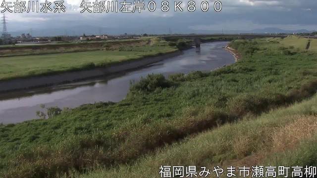
Yabe River
Yame, Fukuoka · River
It rises among the tea fields of Yame and runs to the Ariake Sea. Many weirs and sluice gates, so you can see water being distributed by hand.
-
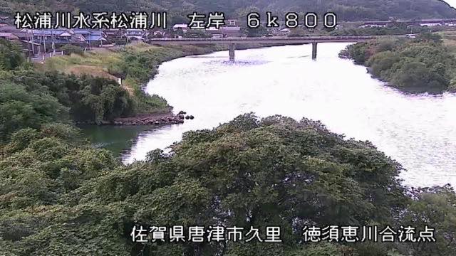 Sample August 2026
Matsuura River
Karatsu, Saga · River
It crosses the Karatsu plain to the Genkai Sea. Sandbars build near the mouth, and the look of it changes with the tide.
-
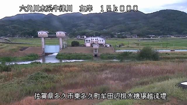 Sample August 2026
Rokkaku River
Takeo–Shiroishi, Saga · River
Its gradient is so slight that the Ariake tide pushes far inland. You can watch muddy water travel upstream.
-
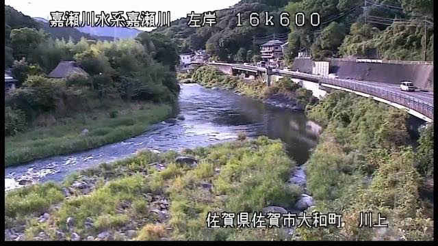 Sample August 2026
Kase River
Saga · River
The river that waters the Saga plain. Its floodplain hosts a hot-air balloon competition, and in autumn a wide expanse of grass appears.
When to watch
These matter in the rainy season and in typhoons. Late June into July is when stationary rain bands park over this region, and the water comes up valley by valley. The same rain behaves completely differently on the steep Yamakuni and on the flat Rokkaku. Open them side by side and the difference is the picture.
Note that the worse the weather, the darker the image and the more rain smears the lens. Do not expect too much of the view, and take evacuation decisions from your local authority, not from a camera.
On a calm day, the thing to watch is the tide. On the Ariake rivers, low water exposes mud and the channel visibly narrows. Look up the tide times, then open the same camera twice six hours apart — it does not look like the same place.
In autumn the flats along the Kase become the ground for a hot-air balloon competition, and a wide expanse of grass appears.
If it isn't showing
All seven are rotating streams that cycle through several cameras along the river. You wait for the point you want, and the order is not yours to choose. At night it is dark, and rough weather smears the picture.
Four of the seven are on the Fukuoka page and three on Saga. The Chikugo runs through Fukuoka, Saga and Oita, but each river is counted under the first prefecture listed for it, so it does not appear on the Oita page.
The seven end in four different seas: the Onga in the Hibiki Sea, the Yamakuni in the Suo Sea, the Matsuura in the Genkai Sea and the other four in the Ariake Sea. The tidal range on the Ariake is large, and on a river like the Rokkaku you can watch muddy water move upstream. The other rivers of Kyushu are on The Rivers of Kumamoto and Nagasaki, The Rivers of Oita and Rivers of Miyazaki and Kagoshima.
Where to find The Rivers of Fukuoka and Saga
Agencies publishing the cameras on this page
- MLIT river live streams (Government Standard Terms 2.0) — Official site
The footage belongs to each agency. This site is an unofficial guide, and each sample frame was copied once per camera under that agency's terms of use.