Region
Shimane Live Cameras in Japan — 10 official webcams
Nine river live streams from the transport ministry, plus the approach to Izumo Taisha. Three rivers of completely different character — the Hii, the Gono and the Takatsu — side by side in one prefecture.
What you can see
Nine of these are river live streams from the Chugoku bureau of the transport ministry; the tenth is the approach to Izumo Taisha, run by the Shimane tourism federation. Each stream holds one fixed point, so there is nothing to wait for.
The nine fall into three river systems. The Hii feeds Lake Shinji, and is known as a river whose bed keeps rising on sand carried down from upstream. Two cameras sit on the main stem and one on the Kando, in the same system. The floodway that carries Hii water out to the Sea of Japan empties into the Kando.
The Gono is the longest river in the Chugoku region. It gathers its tributaries at Miyoshi on the Hiroshima side, cuts through the border hills into Shimane, and reaches the Sea of Japan at Gotsu. Three cameras: Kawahira nearest the mouth, Kawamoto in the middle, and Tsuga Bridge in the gorge. The Takatsu is known for having no dam at all on its main stem, and carries two cameras there plus one on its tributary the Hikimi.
All three reach the Sea of Japan, but what they collect could hardly be more different: the Hii by way of a lake, the Gono from inland in another prefecture and over the hills, the Takatsu gathering water that is almost entirely Shimane's own at the western end of the prefecture. Put the three frames together after the same rain and the difference in how each one rises shows up plainly.
The last camera, Izumo Taisha's Shinmon-dori, is not a river but stills of the shrine approach. Facing south it takes in the great torii at Ukabashi, facing north the one at Seidamari, switching between three directions about every ten seconds.
10 cameras in Shimane
9 video, 1 still. Tap one to open it in the camera list.
-
 Stream cover
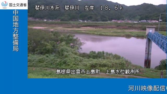
Hii River, lower gauge
Shimane · River
A water-level station on the Hii River, which feeds Lake Shinji. Water off the Okuizumo hills passes here on its way into the lake.
-
 Stream cover
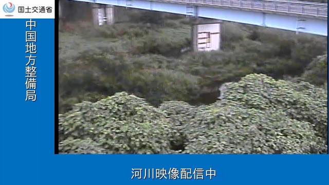
Hii River, raised bed
Shimane · River
Another station on the Hii River. Sand carried down from upstream keeps lifting the bed, and the height difference between the river and the land behind the levees is this river's standing problem.
-
 Stream cover
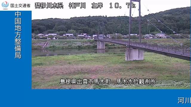
Kando River gauge
Shimane · River
A station on the Kando River, in the Hii system, measuring level and discharge together. The floodway that carries Hii River water out to the Sea of Japan joins it.
-
 Stream cover
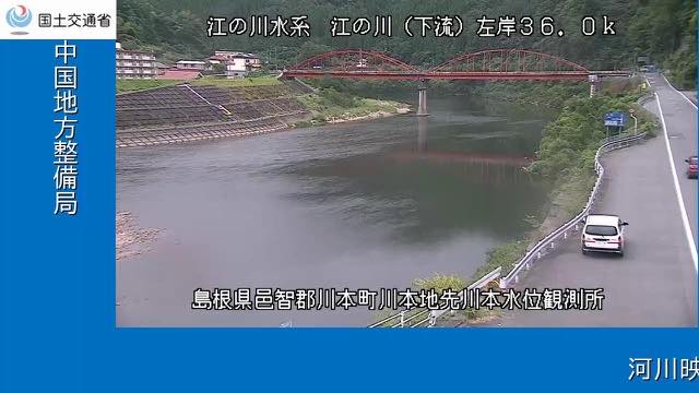
Gono River, middle gauge
Shimane · River
A water-level station on the Shimane stretch of the Gono, the longest river in the Chugoku region. Water that came down from Miyoshi in Hiroshima passes here.
-
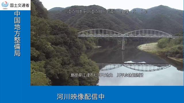 Stream cover
Gono River, nearest the mouth
Shimane · River
A station low on the Gono River. Of the four cameras on this main stem it is the closest to the mouth, with only a short run left to the sea at Gotsu.
-
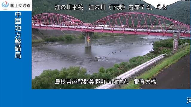 Stream cover
Gono River, Tsuga Bridge
Shimane · River
A camera on a bridge over the middle Gono River, in the stretch where hills close in on both banks.
-
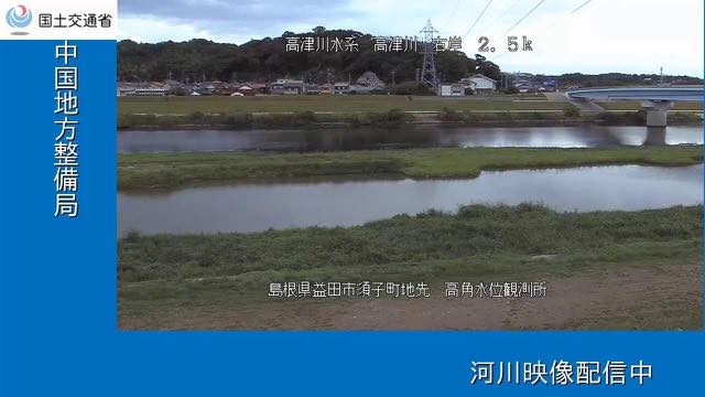 Stream cover
Takatsu River, lower gauge
Shimane · River
A station near the mouth of the Takatsu, a river known for having no dam at all on its main stem.
-
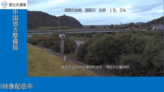 Stream cover
Takatsu River, upper gauge
Shimane · River
A station on the upper Takatsu. Of the ministry's two cameras on this main stem, this is the one nearer the mountains.
-
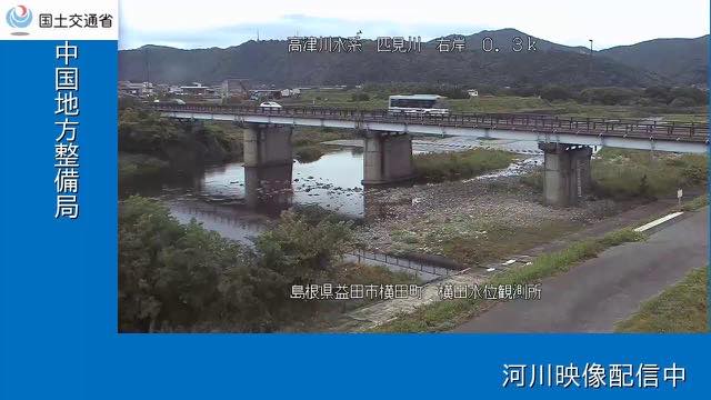 Stream cover
Hikimi River gauge
Shimane · River
A station on the Hikimi River, the tributary that comes down the Hikimi gorge to join the Takatsu.
-
Still, every 10 sec
Izumo Taisha, Shinmon-dori
Izumo, Shimane · World Heritage · City
Stills of the approach to Izumo Taisha. Facing south it takes in the great torii at Ukabashi, facing north the great torii at Seidamari, switching between three directions about every ten seconds.
When to watch
The nine river cameras move most from June to July, in the rainy season, and from August to September, when the typhoons come. The San'in coast faces the Sea of Japan, so winter is wet as well, and December to February brings snow and rain enough to raise the levels.
The clearest time to compare the rivers is just after rain stops. The tributaries — the Hikimi, the Kando — drain smaller areas and answer first, while the main stem of the Gono takes time for rain that fell upstream in Hiroshima to arrive.
Shinmon-dori changes by hour rather than by season. The street looks most different when visitors are moving, in the morning and toward evening.
Closer looks at cameras here
Agencies publishing the cameras on this page
- MLIT river live streams (Government Standard Terms 2.0) — Official site
- Shimane Prefecture Tourism Federation (Notify before linking, no reuse) — Official site
The footage belongs to each agency. This site is an unofficial guide, and each sample frame was copied once per camera under that agency's terms of use.