Volcano
Tongariro National Park: 7 Live Cameras
A World Heritage volcanic area in the middle of New Zealand's North Island. Seven cameras on three mountains — and the seasons run opposite to Japan's.
What you can see
Three volcanoes sit close together in the centre of the North Island. Tongariro National Park was established in 1887, which makes it one of the oldest national parks anywhere. It is inscribed as World Heritage twice over: for the landforms themselves, and for what the mountains mean to Māori.
The seven cameras divide the three mountains between them. Tongariro is a run of linked craters, and the Te Maari crater, which erupted in 2012, has a camera of its own. Ngauruhoe is a nearly perfect cone, and well known as a filming location. Ruapehu is the highest point on the North Island and holds a lake in its summit crater. The level and temperature of that lake are what is being watched; there are cameras on the north, east and south sides because the wind decides which way a plume drifts.
The images come from GeoNet (GNS Science), New Zealand's equivalent of Japan's Meteorological Agency for earthquakes and volcanoes, and they are published openly.
Ruapehu's crater lake has a history of overflowing into lahars — volcanic mudflows. On Christmas Eve 1953 one of them destroyed a rail bridge and caused a major disaster. The cameras are not watching that lake for the scenery.
Cameras you can watch now: 7
All 7 are still images. Tap one to open it in the camera list.
-
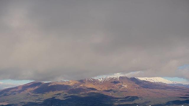 Sample August 2026
Mount Tongariro
North Island · Volcano
An active volcano with a line of craters along its top, at the heart of the World Heritage Tongariro National Park. The ground around it is bare volcanic rubble.
-
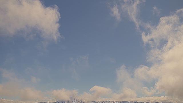 Sample August 2026
Ngauruhoe and Tongariro
North Island · Volcano
A frame wide enough to hold both the cone of Ngauruhoe and the crater line of Tongariro, which shows how close together they are.
-
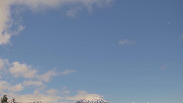 Sample August 2026
Mount Ngauruhoe
North Island · Volcano
A near-perfect stratovolcano cone. Striking under snow, and familiar to many people from film.
-
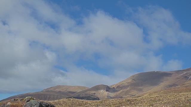 Sample August 2026
Te Maari craters, Mount Tongariro
North Island · Volcano
A close view of the craters that erupted in 2012, kept there to show whether the amount of steam has changed.
-
 Sample August 2026
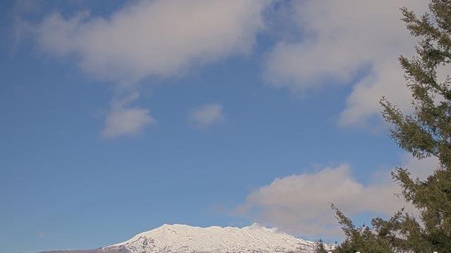
Mount Ruapehu, north
North Island · Volcano
The highest peak on the North Island, holding a crater lake at its top. There are ski fields here, and the camera tracks the lake level and the steam.
-
 Sample August 2026
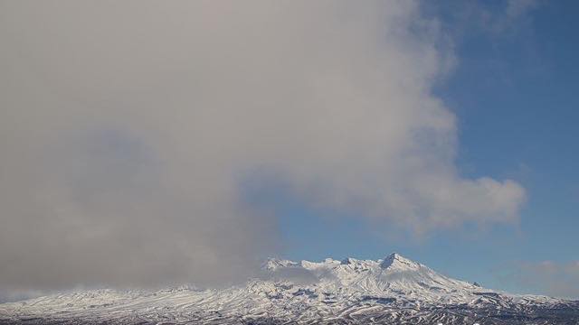
Mount Ruapehu, east
North Island · Volcano
The same crater-lake summit seen from the eastern flank. Snow lies differently here than it does on the northern view.
-
 Sample August 2026
Mount Ruapehu, south
North Island · Volcano
The mountain from the south. Several angles exist because the wind decides which way the steam drifts.
When to watch
The time zone first. New Zealand runs three to four hours ahead of Japan (four during daylight saving). 9 a.m. in Japan is early afternoon there, so a Japanese morning is the New Zealand day, and by the Japanese evening it is getting dark on the mountains.
The seasons are inverted too. When Japan is in summer, this is winter. For snow-covered mountains, look between July and September; for bare, raw volcanic ground, look during the Japanese winter. Ruapehu has ski fields, so through their winter you will see tracks worked into the slopes.
This place takes the westerly weather head-on and it changes fast. At the same moment, the three Ruapehu cameras can look like three different days. If one is white out, try another angle before giving up.
If it isn't showing
All seven are stills, one every ten minutes, and none of them shows anything at night. These cameras are there to watch the volcanoes, not to compose a view: the angles are chosen so that a change in the steam is easy to spot. The Te Maari camera is zoomed right in and does not take in the mountain at all.
Three of the seven look at Mount Ruapehu from the north, the east and the south. The wind decides which way the steam drifts, so when one camera shows nothing the downwind one may still have it. The remaining four are on Tongariro and Ngauruhoe, and one of those holds both mountains in a single frame.
They come from GeoNet, the same source as Whakaari / White Island and Taranaki and Raoul Island. All seven also appear on the New Zealand page. What time it is out there is worked out in Which cameras are in daylight now.
Where to find Tongariro National Park
Agencies publishing the cameras on this page
- GeoNet New Zealand (CC BY 3.0 NZ) — Official site
The footage belongs to each agency. This site is an unofficial guide, and each sample frame was copied once per camera under that agency's terms of use.