Region
Tottori Live Cameras in Japan — 11 official webcams
Nine river live streams from the transport ministry, plus swans and Mount Daisen from the environment ministry. Three river systems — the Sendai, the Tenjin and the Hino — each gathered in one place.
What you can see
Nine of these are river live streams from the Chugoku bureau of the transport ministry; the other two come from the Ministry of the Environment. Each stream holds one fixed point, so there is nothing to wait for — the place is there the moment you open it.
The nine divide neatly among the prefecture's three river systems. In the east, three sit on the Sendai: Mochigase upstream, Fukurogawara in the middle, Gyotoku down near the mouth. From there to the sea the river runs almost due north. In the centre is the Tenjin system, with one camera on the main stem and one each on its tributaries, the Ogamo and the Ko. In the west, the Hino system: Kurumao and Mizoguchi on the main stem and one on the Hosshoji.
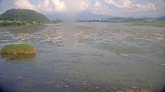
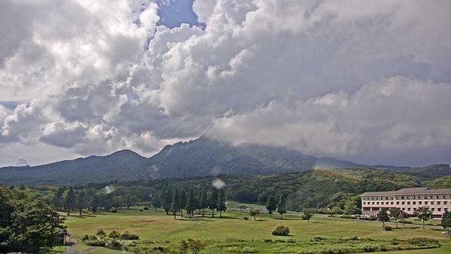
The remaining two come from the Ministry of the Environment — one on birds, one on a mountain. Yonago Waterbird Sanctuary is reclaimed wetland on the edge of Nakaumi lagoon, and water and reed beds fill most of the frame. Out of season it is simply a wide, quiet expanse of water. Kagamiganaru on Mount Daisen looks across a high plateau southeast of Daisen, setting the grassland in the foreground against the sharp outline of Mount Karasu behind. It is a camera on the view from Daisen rather than on Daisen itself.
Those two and the river cameras are connected by the landforms. Yumigahama, the spit the Yonago Waterbird Sanctuary sits on, was built from sand the Hino River carved off Mount Daisen and carried down; the water left behind once that spit closed off the bay is Nakaumi. So the wetland where the birds gather was made by the mountain the other camera is pointed at, and by the river that moved the sand — the Hino, whose Kurumao camera stands on the reach near its mouth. Nakaumi is brackish, still joined to the sea, so both the birds and the water plants differ from those of a freshwater lake.
Nakaumi being brackish is not an accident. The lagoon was the target of a scheme that combined land reclamation with converting it to fresh water, and the works had got as far as walling off sections to serve as a freshwater supply for farmland. The reclamation was called off in 2000 and the freshwater conversion in 2002, and the sluice gate that had stood between lagoon and sea was removed afterwards, leaving a body of water the sea still moves in and out of. Yonago Waterbird Sanctuary stands on one corner of that reclaimed ground: the shallow water the birds gather on is terrain left behind when the works stopped half-finished. Nakaumi is the fifth-largest lake in Japan by area, but it averages only a few metres deep, and that shallowness is exactly what supports so many waterbirds.
11 cameras in Tottori
9 video, 2 still. Tap one to open it in the camera list.
-
 Sample August 2026
Bewick's swans, Yonago Waterbird Sanctuary
Yonago, Tottori · Wildlife
Reclaimed wetland facing Nakaumi lagoon. Swans arrive for the winter, and morning and evening are when the flocks move.
-
 Sample August 2026
Mount Karasugasen from Kagamiganaru
Kofu, Tottori · Nature
The sharp cone of Karasugasen seen from the plateau southeast of Mount Daisen. The grassland in front sets off the outline cleanly.
-
 Sample September 2026
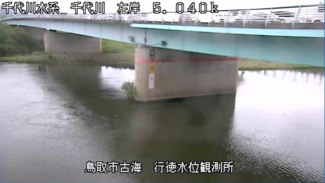
Sendai River, lower gauge
Tottori · River
A water-level station on the lower Sendai River. Of the three cameras the ministry streams on this river, it is the nearest to the mouth.
-
 Sample September 2026
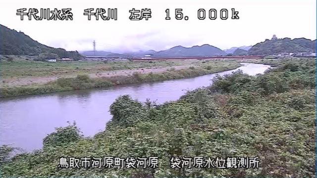
Sendai River, middle gauge
Tottori · River
A water-level station on the middle Sendai River, sitting right between the upstream camera at Mochigase and the downstream one at Gyotoku.
-
 Sample September 2026
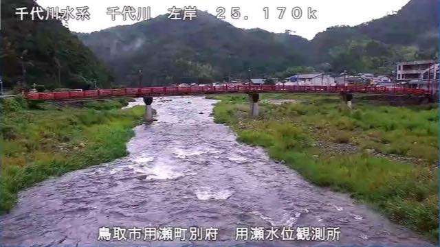
Sendai River, upper gauge
Tottori · River
A water-level station on the upper Sendai River. From here to the sea the river runs almost due north.
-
 Sample September 2026
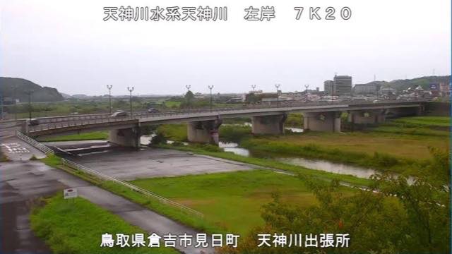
Tenjin River, field office
Tottori · River
The Tenjin River, which crosses the Kurayoshi plain and reaches the Sea of Japan, filmed from the ministry's field office beside it.
-
 Sample September 2026
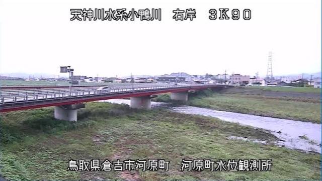
Ogamo River gauge
Tottori · River
A water-level station on the Ogamo River, which joins the Tenjin. It drains a smaller area than the main stem, so it answers to rain sooner.
-
 Sample September 2026
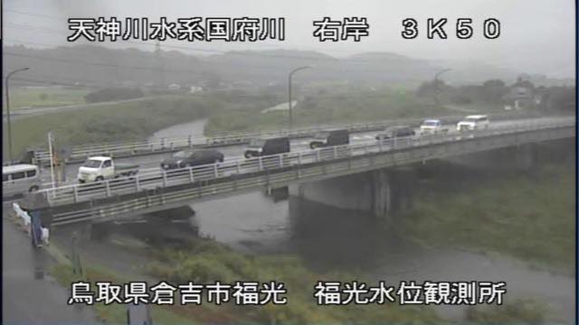
Ko River gauge
Tottori · River
A water-level station on the Ko River, a tributary in the Tenjin system. The ministry puts one camera on the main stem and one on each of these two tributaries.
-
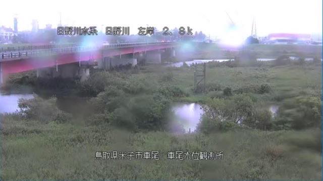 Sample September 2026
Hino River, lower gauge
Tottori · River
A station near the mouth of the Hino River, which comes down from the south side of Mount Daisen onto the Yonago plain.
-
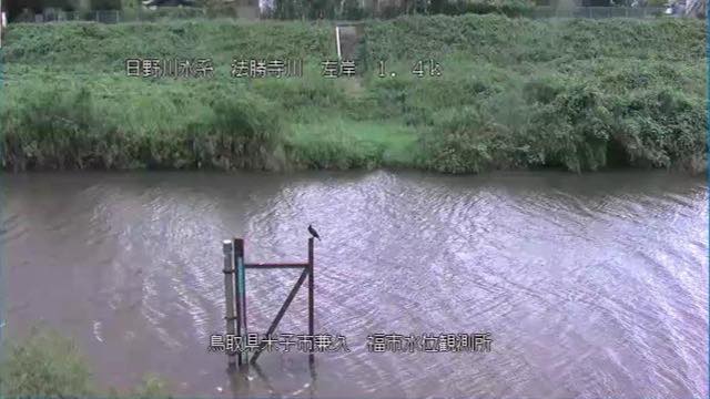 Sample September 2026
Hosshoji River gauge
Tottori · River
A station on the Hosshoji River, which joins the Hino. It sits under three kilometres south of the main-stem camera, so both sides of the junction can be compared.
-
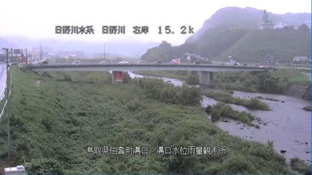 Sample September 2026
Hino River, upper gauge
Tottori · River
A station on the upper Hino River, at the western foot of Mount Daisen. It measures rainfall as well as water level.
When to watch
The nine river cameras move most from June to July, in the rainy season, and from August to September, when the typhoons come. This is the Sea of Japan side, so winter is wet too, and December to February brings snow and rain that raise the levels. The tributaries — the Hosshoji, the Ogamo — drain smaller areas, so they answer to rain first.
Yonago Waterbird Sanctuary is a wetland on Nakaumi lagoon and the main wintering ground for Bewick's swans in western Japan. As winter visitors they peak between December and February, and the flocks move at dawn and dusk. Set it beside Lake Kutcharo up in Hokkaido and the distance these birds cover starts to feel real.
Kagamiganaru is a plateau at around 900 m that takes enough snow to run a ski area in winter. The sharp cone of Mount Karasugasen sits square in the frame.
Closer looks at cameras here
Agencies publishing the cameras on this page
- MLIT river live streams (Government Standard Terms 2.0) — Official site
- Ministry of the Environment — Internet Nature Institute (PDL 1.0) — Official site
The footage belongs to each agency. This site is an unofficial guide, and each sample frame was copied once per camera under that agency's terms of use.