Region
Gunma Live Cameras in Japan — 7 official webcams
Mount Asama from two angles, Mount Kusatsu-Shirane, the Karafuki fumaroles at Manza, and Lake Ozenuma. Volcanoes cluster here, and so do the cameras where you can actually see steam rising — plus two live streams on the Tone and the Watarase.
What you can see
Two of the seven belong to the Japan Meteorological Agency, three to the Ministry of the Environment, and the remaining two are river live streams from the transport ministry. Start with the five volcano cameras. There are two cameras on Mount Asama, and not by accident: the two agencies are watching for different things from different angles. Asama from Tsumagoi is the wide landscape including the foothills; the Meteorological Agency's Asama watches the cone from the Onioshi district, where lava from the 1783 eruption still lies on the surface.
Manza Karafuki is a patch of hillside on the flank of Kusatsu-Shirane that vents steam continuously, and Mount Kusatsu-Shirane holds Yugama, a strongly acidic crater lake. Lake Ozenuma is the odd one out: still water ringed by high moor.
The other two are video. The Tone and Karasu rivers stream cycles through several points on the Tone, which drains the largest basin in Japan, and the Karasu, which joins it at Takasaki. Upstream it is a valley in the hills, downstream a broad floodplain, so the view changes a great deal within one stream. The Watarase comes off the Ashio mountains onto the Kanto plain and joins the Tone as well. The rain that falls on the mountains the volcano cameras watch runs down these two rivers.
7 cameras in Gunma
2 video, 5 still. Tap one to open it in the camera list.
-
 Sample August 2026
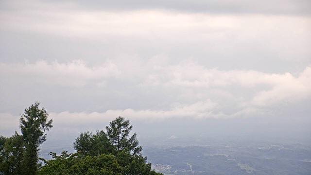
Mount Asama from Tsumagoi
Tsumagoi, Gunma · Volcano
An active volcano with long, gentle flanks. The plume and the snow near the summit tell you both the season and how active it is.
-
 Sample August 2026
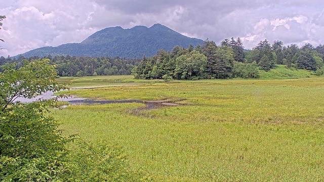
Lake Ozenuma
Gunma / Fukushima · Nature
A quiet lake surrounded by high moorland. With Mount Hiuchi behind it, the light on the water changes colour sharply at dawn and dusk.
-
 Sample August 2026
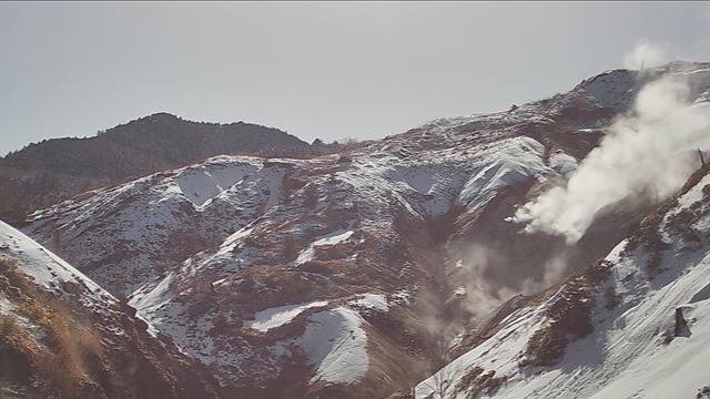
Manza Karafuki
Tsumagoi, Gunma · Volcano
A spot midway up Kusatsu-Shirane where steam vents continuously from the hillside. Raw enough that you can almost smell the sulphur.
-
 Sample August 2026
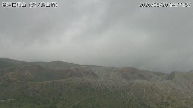
Mount Kusatsu-Shirane
Gunma · Volcano
Holds Yugama, a strongly acidic crater lake. A sudden eruption on the Motoshirane side in 2018 led to closer monitoring.
-
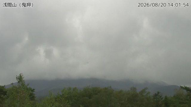 Sample August 2026
Mount Asama
Gunma / Nagano border · Volcano
One of the most frequently erupting volcanoes in Japan. Around the camera at Onioshi, lava from the 1783 eruption is still lying where it stopped.
-
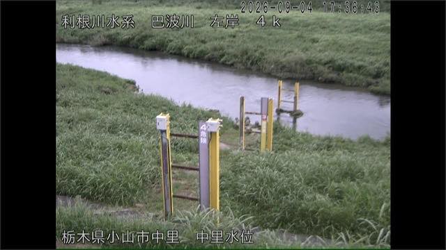 Sample September 2026
Watarase River
Gunma–Tochigi · River
A river that leaves the Ashio mountains for the Kanto plain and joins the Tone. Japan's largest flood detention basin spreads across its lower course.
-
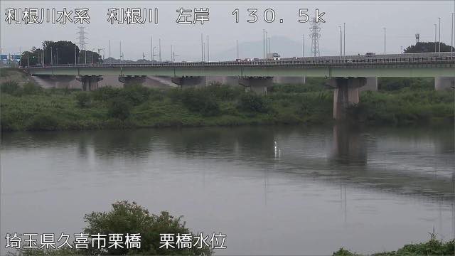 Sample September 2026
Tone and Karasu rivers
Gunma–Saitama · River
The Tone has the largest catchment in Japan; the Karasu joins it at Takasaki. Upstream is a mountain valley, downstream a broad floodplain, so the view changes completely.
When to watch
Karafuki, at Manza, is a bare slope with white steam venting from it continuously. Steam shows up whiter and thicker the colder and damper the air, so a winter morning is when it reads most clearly; on a summer afternoon the same volume can be almost invisible.
Lake Ozenuma straddles the Gunma–Fukushima border at about 1,660 m. Skunk cabbage flowers from late May into June, and the marsh grasses turn from late September into early October. The roads close for winter, leaving only a lake buried in snow.
Mount Asama has two cameras: a scenery camera from Tsumagoi and a Meteorological Agency monitoring camera. Cloud settles on the summit easily, so mornings tend to be clearer.
The Tone and Karasu and Watarase streams are busiest from June to October, when the rainy front and the typhoons overlap. In winter the water is low and the grass on the floodplain has died back, so the channel itself reads clearly.
Closer looks at cameras here
- Mount Asama2
- Oze1
- JMA Volcano Watch Cameras49
- Mount Kusatsu-Shirane2
- Autumn Leaves16
- First Snowcap16
- The Rivers of the Kanto Plain6
- Snow23
- Geothermal Areas16
Agencies publishing the cameras on this page
- Japan Meteorological Agency — volcano surveillance cameras (PDL 1.0) — Official site
- MLIT river live streams (Government Standard Terms 2.0) — Official site
- Ministry of the Environment — Internet Nature Institute (PDL 1.0) — Official site
The footage belongs to each agency. This site is an unofficial guide, and each sample frame was copied once per camera under that agency's terms of use.