River
The Arakawa: 10 Live Cameras in Japan
Ten cameras follow the lower Arakawa from upstream to the sea — from Toda in Saitama, past the Iwabuchi Floodgate in Kita ward, then Adachi, Horikiri in Katsushika and Edogawa, out to the sea at Shinsuna in Koto ward. In heavy rain you can see how far the water has climbed up the flood plain.
What you can see
These are river cameras published by the Arakawa-Karyu River Office of the Ministry of Land, Infrastructure, Transport and Tourism. A still refreshes every minute, and each image is stamped in the bottom-left corner with the name of the place it stands in.
They are ordered upstream to the sea: Sasameba Bridge (Toda, 28.8 km), Shin-Arakawa Bridge (Kawaguchi, 21.4 km), the Iwabuchi Floodgate (Kita, 20.5 km), Goshikizakura Bridge (Adachi, 17.1 km), above Nishiarai Bridge (Adachi, 13.8 km), Horikiri (Katsushika, 9.8 km), above Hirai Bridge (Edogawa, 6.4 km), below the Metropolitan Expressway Route 7 crossing (Edogawa, 4.3 km), Komatsugawa (Edogawa, 2.4 km) and Shinsuna (Koto, -0.5 km). Work down them in order and you can watch the river widen as it nears the sea.
This stretch is not a natural river. Everything below the Iwabuchi Floodgate is the Arakawa Drainage Channel, dug by hand between the end of the Meiji era and the early Showa era to send floods out to sea instead of through the city. That is why it runs straight and wide with high levees on both banks, and why the ground between the levees is given over to sports grounds and rough grass.
Horikiri, Komatsugawa and Shinsuna are emergency wharves — built so people and supplies can be moved by boat when the roads are out. Most of the time they just look like revetment.
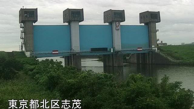
The Iwabuchi Floodgate is where the Sumida River branches off the Arakawa. Everything below it is the drainage channel, so this one camera of the ten looks straight at the head of the channel. It stands on the right bank, on the Shimo side in Kita ward, with the blue gates across the middle of the frame. Its feed was suspended for construction work; it came back, and the camera was added to this page in August 2026. The sample image on its card was taken after the feed returned.
Cameras you can watch now: 10
All 10 are still images. Tap one to open it in the camera list.
-
 Sample August 2026
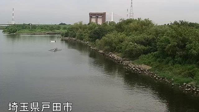
Sasame Bridge
Toda, Saitama · River
28.8 km from the river mouth. Where National Route 17 crosses the Arakawa, seen from the Toda side. From here down, the floodplain stays wide the whole way.
-
 Sample August 2026
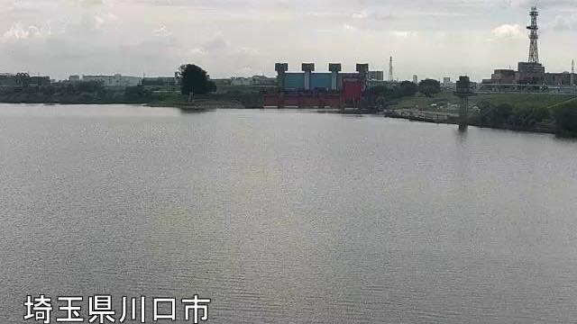
Shin-Arakawa Bridge
Kawaguchi, Saitama · River
21.4 km from the mouth. Route 122's Shin-Arakawa Bridge from the Kawaguchi side. The far bank is Kita ward, Tokyo — the river is the prefectural border.
-
 Sample August 2026
Iwabuchi Floodgate
Kita, Tokyo · River
The floodgate where the Sumida River branches off the Arakawa, seen from Kita ward on the right bank. The picture refreshes every minute. The blue gates stand across the middle of the frame. 20.5 km from the mouth.
-
 Sample August 2026
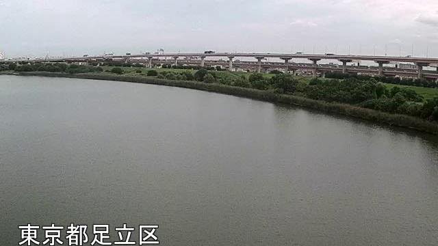
Goshikizakura Bridge
Adachi, Tokyo · River
17.1 km from the mouth. A double-deck bridge carrying the Kawaguchi expressway over the river; at night the pier lighting stretches across the water.
-
 Sample August 2026
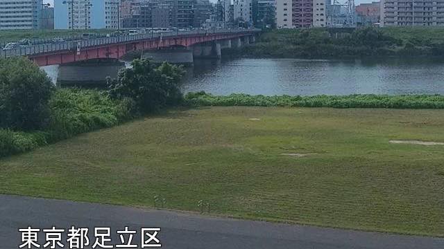
Above Nishiarai Bridge
Adachi, Tokyo · River
13.8 km from the mouth, looking upstream of Nishiarai Bridge from the left bank. Tower blocks line the far side and the water picks up their lights.
-
 Sample August 2026
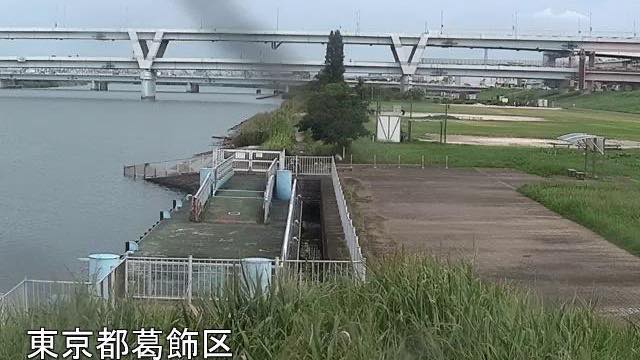
Horikiri emergency wharf
Katsushika, Tokyo · River
9.8 km from the mouth of the Arakawa. From the Katsushika bank the whole width of the river and the bridges upstream fit in the frame. It is a landing for boats in a disaster, and how far the water has risen shows on the steps in the foreground.
-
 Sample August 2026
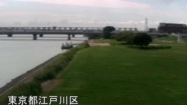
Above Hirai Bridge
Edogawa, Tokyo · River
6.4 km from the mouth, looking upstream of Hirai Bridge from the right-bank levee. The low viewpoint puts the full width of the river on screen.
-
 Sample August 2026
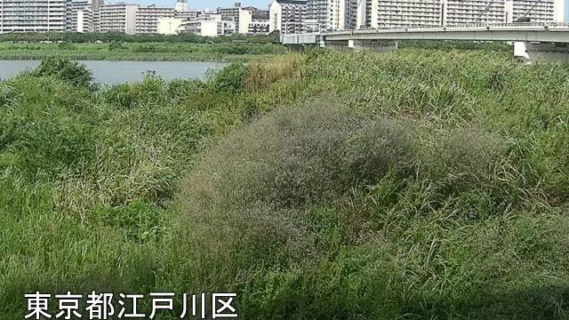
Below Metropolitan Expressway Route 7
Edogawa, Tokyo · River
4.3 km from the mouth, downstream of where Route 7 crosses. The near bank is high floodplain thick with reeds.
-
 Sample August 2026
Komatsugawa emergency wharf
Edogawa, Tokyo · River
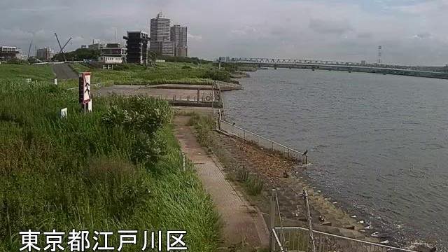
2.4 km from the mouth. Central Tokyo's towers stand beyond the far bank, and on a clear day their outlines are sharp.
-
 Sample August 2026
Shinsuna emergency wharf
Koto, Tokyo · River
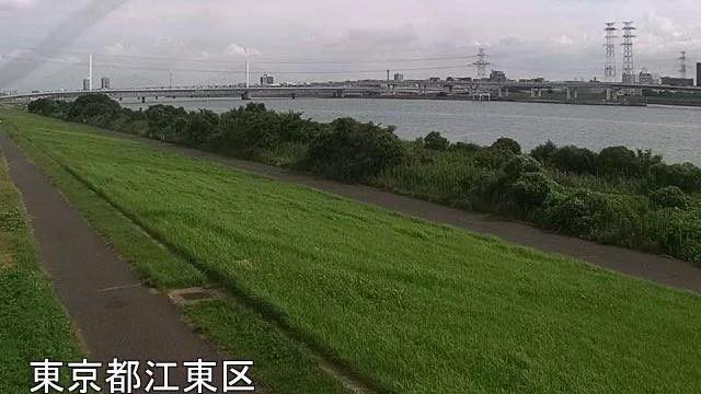
The marker here reads -0.5 km, the closest the Arakawa gets to the sea. This stretch is tidal, and the level rises and falls within the day.
When to watch
These earn their keep in heavy rain and typhoons. The wide floodplain you normally see goes under from the bottom up as the river rises. You do not need to read a gauge — how far the water has reached across the playing fields and paths tells you. Open all ten from the top and you can judge roughly where the water has got to.
That said, the worse the weather the darker the picture, and rain on the lens smears it. Do not expect too much of the view, and make evacuation decisions on the basis of what your local authority says. These cameras are for getting a sense of things.
On a calm day, morning and late afternoon suit it best. The river runs north to south, so the surface blows out white in the middle of the day, and low light lets you see the far bank. At Goshikizakura Bridge and the Route 7 crossing the bridge itself is part of the composition.
In winter the air is clean enough that on some days the towers of central Tokyo line up beyond the levee. On a summer evening you see people out on the floodplain.
If it isn't showing
All ten are stills, refreshed once a minute. They are river-management cameras: the framing points at the embankment and the bridges, not at a view. At night you get the lights of a bridge and of the far bank, and nothing of the water itself.
The ten are laid out downstream in order, from Sasame Bridge at 28.8 km above the mouth to Shinsuna just short of it. The top two are on the Saitama page and the other eight on Tokyo. Neither page holds the whole run, so this is the only place you can follow the river from top to bottom.
Shinsuna, the lowest of them, sits in the tidal reach: the level there rises and falls over a day even when no rain has fallen. Other rivers running through a built-up city are on The Yodo River System and The Yamato River.
Where to find The Arakawa
Agencies publishing the cameras on this page
- MLIT Arakawa Downstream River Office (PDL 1.0) — Official site
The footage belongs to each agency. This site is an unofficial guide, and each sample frame was copied once per camera under that agency's terms of use.