River
Rivers and Coast in Hyogo: 4 Live Cameras in Japan
Four government live streams: the Kako and the Ibo running down to the Inland Sea, the Maruyama running out to the Sea of Japan, and the Higashi-Harima coast between Akashi and Kakogawa.
What you can see
Hyogo is one of the few prefectures facing both the Inland Sea and the Sea of Japan. These four are chosen so you can watch both sides at once.
The Kako and the Ibo run south into the Harima Sea. Both water the Harima plain and both have wide flats along their lower reaches. The Manganji and the Hayashida, tributaries, are on the respective feeds.
The Maruyama goes the other way — north through the Toyooka basin to the Sea of Japan. Its lower gradient is so slight, and the water sits so close to sea level almost all the way to the mouth, that it struggles to drain in heavy rain. This low, wet ground is also where the oriental stork was reintroduced to the wild. The Izushi and other tributaries share the feed.
The Higashi-Harima coast is the one that is not a river. It covers the run of beach and sea wall from Akashi to Kakogawa, installed to watch storm surge and waves. In a typhoon, open it alongside the river cameras and you can see the water being pushed in from the sea side.
All four are rotating streams cycling through several points.
Cameras you can watch now: 4
All 4 are live video. Tap one to open it in the camera list.
-
 Stream cover
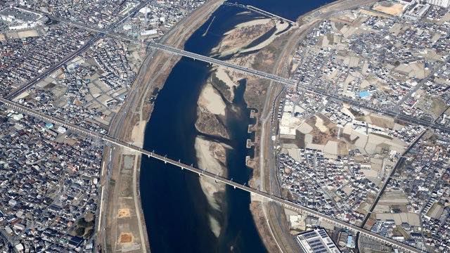
Kako and Manganji Rivers
Kakogawa, Hyogo · River
Running straight south across the Harima plain to the Seto Inland Sea. The mouth sits next to an industrial belt.
-
 Stream cover
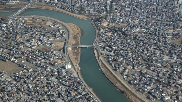
Ibo and Hayashida Rivers
Himeji, Hyogo · River
The clear river behind a famous somen noodle-making area. Water quality upstream is good, and on fine days the surface looks genuinely clear.
-
 Stream cover
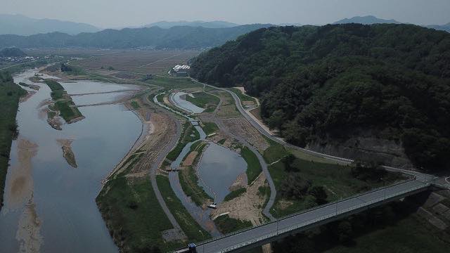
Maruyama and Izushi Rivers
Toyooka, Hyogo · River
Rivers of the wetlands where the oriental stork returned. The gradient is gentle and seawater reaches a long way up from the mouth.
-
 Stream cover
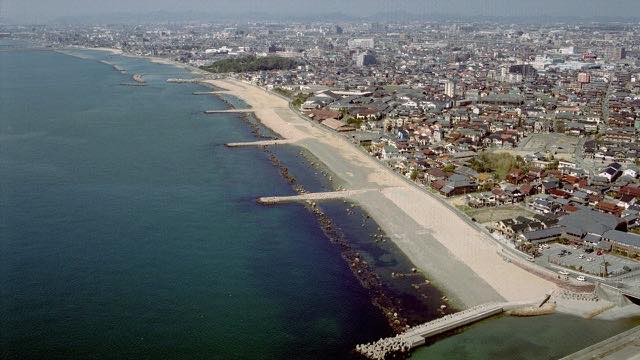
Higashi-Harima coast
Akashi–Kakogawa, Hyogo · Sea
A sandy shore on the Seto Inland Sea. This camera shows coast rather than river, so wave height and tide are what to watch.
When to watch
In a typhoon, the two sides of the prefecture get different rain. A storm passing to the west throws it at the Maruyama on the Sea of Japan side; one passing to the east throws it at the Kako and the Ibo. Open all three and you can see which way the rain band is leaning.
The worse the weather, the darker the image and the more the lens smears. Take evacuation decisions from your local authority.
Winter is when the two sides differ most. Snow lies in the Maruyama basin on some days; open the Kako the same day and there is routinely none at all. This is the season that shows you how much one prefecture can contain.
The Higashi-Harima coast gets its big waves on the winter monsoon. The gap between a calm day and a windy one is large enough that it is worth opening on a rough day.
If it isn't showing
All four are rotating streams that cycle through several cameras along the river. You wait for the point you want, and the order is not yours to choose. At night it is dark, and rough weather smears the picture.
All four also appear on the Hyogo page. One of the four is not a river at all: the Higashi-Harima coast camera is there for wave height and tide, so if you open it looking for a river level, it will seem as though nothing is happening.
Hyogo faces both the Seto Inland Sea and the Sea of Japan, and only one of the four, the Maruyama, is on the Sea of Japan side. The inland sea itself is on The Seto Inland Sea, and the neighbouring basin on the Sea of Japan side is The Yura River.
Where to find Rivers and Coast in Hyogo
Agencies publishing the cameras on this page
- MLIT river live streams (Government Standard Terms 2.0) — Official site
The footage belongs to each agency. This site is an unofficial guide, and each sample frame was copied once per camera under that agency's terms of use.