Volcano
Mount Norikura: 2 Live Cameras in Japan
A volcano over 3,000 m that you can reach by bus. Two cameras: one monitoring the volcano, one looking up from the Norikura plateau on the Nagano side.
What you can see
Norikura sits on the Nagano–Gifu border, and its highest peak, Kengamine, tops 3,000 m. A road runs all the way up to Tatamidaira near the summit — private cars are barred, so it is buses and taxis only — which makes it the easiest 3,000-metre alpine zone in Japan to stand in.
The Meteorological Agency camera is monitoring equipment for a continuously watched volcano. Mount Norikura from Norikura Kogen is an Environment Ministry scenery camera looking up at the summit from a plateau at around 1,500 m. Plateau woodland in front, ridgeline behind — a framing that shows changes in the snow cover clearly.
The Norikura highland where the second camera stands is itself a landform this volcano made. Lava out of the mountain piled up into a flat shelf, leaving a broad plateau at around 1,500 m. Being a shelf rather than a valley, woodland and grass spread sideways with the ridge sitting on top of them. Tatamidaira up on the mountain is at 2,702 m, the highest place in the country you can reach by bus. So the two cameras watch one mountain from the lava shelf it built and from near its summit.
Cameras you can watch now: 2
All 2 are still images. Tap one to open it in the camera list.
-
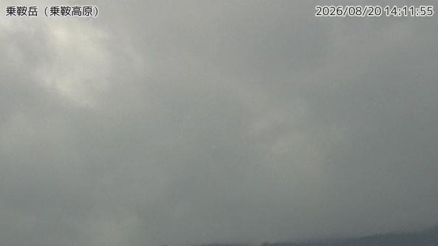 Sample August 2026
Mount Norikura
Nagano / Gifu border · Volcano · Nature
A bus takes you to nearly 2,700 metres. The camera looks at the summit ridge from the Norikura plateau side, where snow stays on the ridge for months.
-
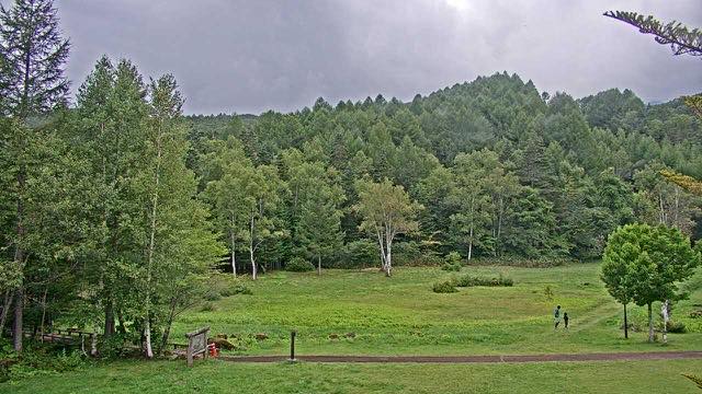 Sample August 2026
Mount Norikura from Norikura Plateau
Matsumoto, Nagano · Nature
A 3,000-metre ridgeline seen from the plateau below. Snow patches survive the summer, and on clear days you can pick out every notch in the ridge.
When to watch
You read the season off the snow. In May and June the ridge is still white while the plateau has gone green, splitting the frame in two. This is also the season of the road running between walls of cut snow.
From late September into early October the autumn colour comes down as far as the plateau. There is enough height difference that the summit side and the plateau side turn about two weeks apart.
Mornings are better. In mountain country cloud boils up out of the valleys through the afternoon, and the ridge is often gone by early afternoon. Even on a clear day, open it before noon if you actually want to see the mountain.
If it isn't showing
Both are stills. The Meteorological Agency one refreshes every two minutes, the Norikura Plateau one once an hour. In mountain country cloud boils up out of the valleys in the afternoon, so a ridge missing from the frame after midday does not necessarily mean bad weather. Neither shows anything at night.
Norikura sits on the border with Gifu, but both cameras look at it from the Nagano side. Nothing films it from Gifu at present.
Nagano also has Mount Ontake to the south and Kamikochi with Mount Yake and Niigata-Yakeyama to the north. Norikura under cloud while Ontake is clear is a common thing. Both cameras are also listed under Autumn Leaves.
Where to find Mount Norikura
Agencies publishing the cameras on this page
- Japan Meteorological Agency — volcano surveillance cameras (PDL 1.0) — Official site
- Ministry of the Environment — Internet Nature Institute (PDL 1.0) — Official site
The footage belongs to each agency. This site is an unofficial guide, and each sample frame was copied once per camera under that agency's terms of use.