Region
Tokushima Live Cameras in Japan — 4 official webcams
Four live streams from the transport ministry, all on the Naka river system: from just below the dam upstream to the bridges near the mouth, one river held at four points at once.
What you can see
All four are river live streams from the Shikoku bureau of the transport ministry, and unlike the streams in other regions each holds one fixed point rather than cycling. There is nothing to wait for — the place is there the moment you open it.
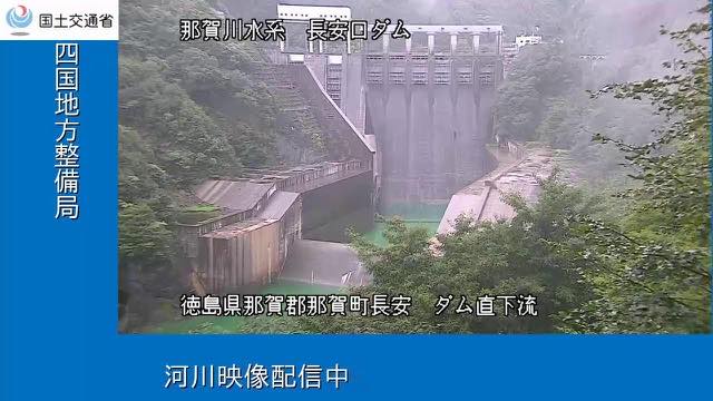
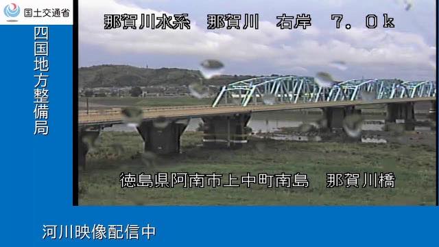
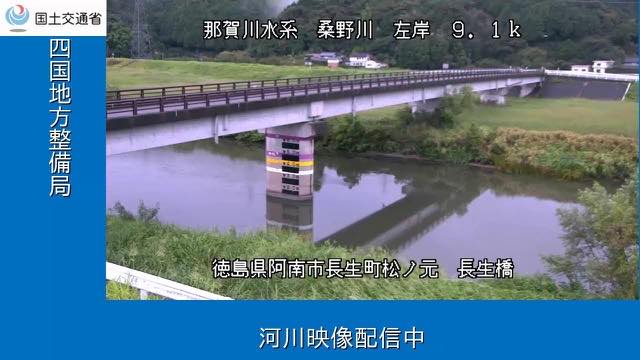
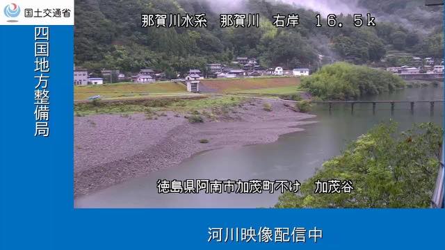
The four take a single river, the Naka, from the top down. Highest is below the Nagayasuguchi Dam, looking at the water just under the dam. Next is Kamodani, where the Naka leaves the hills and comes out onto the Anan plain. Nakagawa Bridge crosses the river at Anan, close to the mouth, where the channel is wide and the tide reaches. Chosei Bridge is the one exception: it stands not on the Naka itself but on the Kuwano, which joins it.
No other prefecture on this site lets you hold one river at this many points at once. When rain falls upstream you can put the four frames side by side and see how long the water takes to arrive. The Kuwano at Chosei Bridge is the smaller river, so its level rises and falls more sharply after rain than the main channel does.
4 cameras in Tokushima
All 4 are live video. Tap one to open it in the camera list.
-
 Stream cover
Nagayasuguchi Dam, just downstream
Naka, Tokushima · River
Just below Nagayasuguchi Dam on the upper Nakagawa. This is some of the wettest country in Shikoku, and the current changes abruptly once a release begins.
-
 Stream cover
Nakagawa Bridge
Anan, Tokushima · River
A bridge over the Nakagawa near its mouth, in the city of Anan. By here the channel is wide and the tide reaches it.
-
 Stream cover
Choseibashi Bridge
Anan, Tokushima · River
A bridge over the Kuwanogawa, a tributary of the Nakagawa. Being the smaller river, it shows the rise and fall after rain far more plainly.
-
 Stream cover
Kamodani
Anan, Tokushima · River
Where the Nakagawa leaves the hills and comes out onto the Anan plain. Rain falling upstream passes through here, so a rise arrives in order from above.
When to watch
The upper Naka runs through some of the wettest hill country in Shikoku. The water moves most from June to October, when the rainy front and the typhoons overlap, and a typhoon passing south of Shikoku can drop a great deal of rain upstream in a day.
In that season, start at below the Nagayasuguchi Dam. Once the dam begins to release, a thin flow changes character completely. Move down to Kamodani and then Nakagawa Bridge and you can follow the same water going down.
On an ordinary day the Naka is clear, and in places the stones on the bed show through. In winter the flow drops and the sandbars and riffles come well out. All four are video, so at night little shows beyond what the lights reach — open them in daylight for the river.
Agencies publishing the cameras on this page
- MLIT river live streams (Government Standard Terms 2.0) — Official site
The footage belongs to each agency. This site is an unofficial guide, and each sample frame was copied once per camera under that agency's terms of use.