River
Rivers of Miyazaki and Kagoshima: 5 Live Cameras in Japan
Five live streams in southern Kyushu — the Oyodo, the Gokase, the Omaru, the Sendai and the Kimotsuki — in the part of Japan typhoons hit most often.
What you can see
What these five have in common is that they lie on the typhoon track. Southern Kyushu takes more landfalls than anywhere else in Japan, and a single storm can drop several hundred millimetres across a whole basin. Open all five and you can see the order in which they rise change depending on which side the rain is coming from.
Above the Gokase is the Takachiho Gorge: pyroclastic flow from Aso that cooled into rock, then cut by the river, leaving vertical columnar jointing down the walls. A volcano and a river building one landscape between them.
The Oyodo comes out of the Miyakonojo basin and through central Miyazaki. It runs through built-up ground for a long stretch, so when the level rises you see how close the water is to where people live. The Omaru has major generating works upstream and long mountain reaches.
The Sendai is the second-longest river in Kyushu, crossing Kagoshima from near the Miyazaki border to the East China Sea. The Kimotsuki drains the Osumi peninsula into Shibushi Bay; a peninsula river with a narrow basin, so rain shows in the level almost directly.
All five are rotating streams cycling through several points along the river.
Cameras you can watch now: 5
All 5 are live video. Tap one to open it in the camera list.
-
 Sample August 2026
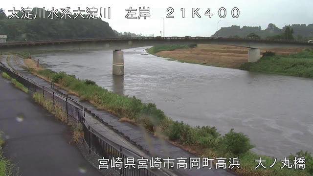
Oyodo River
Miyazaki · River
It meanders widely through central Miyazaki to the Hyuga Sea. The city presses against the levees, so town lights sit alongside the water.
-
 Sample August 2026
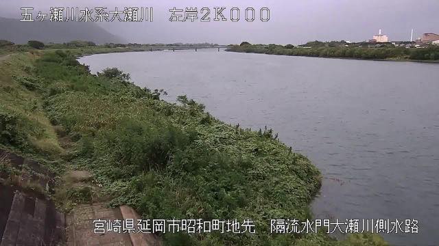
Gokase River
Nobeoka, Miyazaki · River
The water that carved Takachiho Gorge reaches the Hyuga Sea at Nobeoka. Three rivers meet at the mouth, and the confluence is the thing to watch in a flood.
-
 Sample August 2026
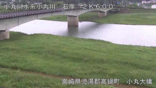
Komaru River
Takanabe, Miyazaki · River
It drops straight from the Kyushu mountains to the coast at Takanabe. Typhoons come through here, and rough weather changes it dramatically.
-
 Sample August 2026
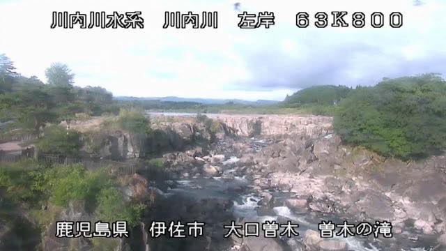
Sendai River
Kagoshima / Miyazaki · River
The second-longest river in Kyushu. Sections with big drops such as Sogi Falls mean the current differs sharply between upstream and down.
-
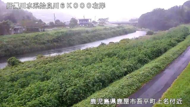 Sample August 2026
Kimotsuki River
Osumi Peninsula, Kagoshima · River
It crosses the Osumi plain to Shibushi Bay. Ash from Sakurajima sometimes washes into it.
When to watch
Typhoons in August and September are both the main event and the time for most care. It is not only landfalls: when damp air comes up from the south, this region gets heavy rain with no storm at all. Late June and July do the same.
The worse it gets, the darker the image, the more rain and wind smear the lens — and in strong wind the picture itself shakes. Take evacuation decisions from your local authority, not from a camera.
On a calm day, what makes these interesting is how far width and speed differ between upper and lower reaches. Open the gorge section of the Gokase and then the city section of the Oyodo — it is hard to believe they are rivers on the same island.
In winter the flow drops and stones and gravel bars come out across the bed. Open a spot in winter that you watched in summer and the difference is startling.
If it isn't showing
All five are rotating streams that cycle through several cameras along the river. You wait for the point you want, and the order is not yours to choose. At night it is dark, and rough weather smears the picture.
Three of the five are on the Miyazaki page and two on Kagoshima. The Sendai crosses both prefectures, but each river is counted under the first one listed for it, which puts it under Kagoshima.
The three Miyazaki rivers reach the Hyuga Sea; of the two in Kagoshima, one runs west to the East China Sea and the other into Shibushi Bay. Ash from Sakurajima is sometimes washed into the Kimotsuki, which crosses the Osumi Peninsula. The other rivers of Kyushu are on The Rivers of Kumamoto and Nagasaki, The Rivers of Oita and The Rivers of Fukuoka and Saga.
Where to find Rivers of Miyazaki and Kagoshima
Agencies publishing the cameras on this page
- MLIT river live streams (Government Standard Terms 2.0) — Official site
The footage belongs to each agency. This site is an unofficial guide, and each sample frame was copied once per camera under that agency's terms of use.