Region
Tochigi Live Cameras in Japan — 4 official webcams
Two monitored volcanoes, Mount Nasu and Mount Nikko-Shirane, and Lake Yunoko in the Oku-Nikko highlands, plus a live stream of the Kinu and Kokai rivers. The three mountain cameras sit high enough that the seasons arrive about a month ahead of the lowlands.
What you can see
Two volcano cameras from the Japan Meteorological Agency, one lake camera from the Ministry of the Environment, and one river live stream from the transport ministry. The first three sit high, and the season runs about a month ahead of Utsunomiya or the town of Nikko below.
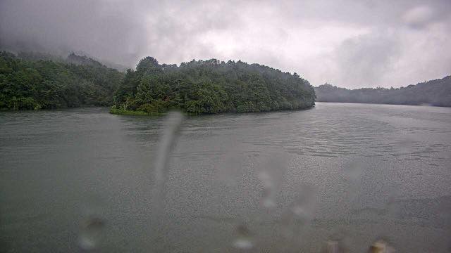
The Mount Nikko-Shirane camera is not on the mountain at all — it stands on the shore of Lake Chuzenji and looks west across the water at the ridge beyond, so you get the lake surface as well. On Mount Nasu, steam rises continuously near the summit of Chausu, and on a windy day you can read the wind from the way it drifts. Lake Yunoko is a small lake ringed by old-growth forest, and it freezes in winter.
Those three cameras look at ground shaped by lava damming a valley. Lake Chuzenji formed when lava out of Mount Nantai blocked the valley, and where the impounded water spills over the lip is Kegon Falls. The Nikko-Shiranesan camera stands on the shore of that lake. Lake Yunoko further upstream came about the same way, and its own overflow is Yudaki Falls. The lakes and falls of Oku-Nikko are not scattered features but one chain of water.
The fourth, the Kinu and Kokai rivers, is a different kind of camera. One stream cycles through several points on two rivers that carry the rain and snowmelt off the Nikko mountains southward. The high ground the other three cameras watch is where this water begins.
4 cameras in Tochigi
1 video, 3 still. Tap one to open it in the camera list.
-
 Sample August 2026
Lake Yunoko, Oku-Nikko
Nikko, Tochigi · Nature
A small lake at around 1,400 metres, ringed by old-growth forest. Autumn colour and winter ice both show clearly.
-
 Sample August 2026
Mount Nasu
Tochigi / Fukushima border · Volcano
Steam rises continuously near the summit of Chausudake. A ropeway makes it easy to reach, though it is also known for its wind.
-
 Sample August 2026
Mount Nikko-Shirane
Tochigi / Gunma border · Volcano · Nature
The highest mountain in the Kanto region. The camera sits on the shore of Lake Chuzenji and looks west at the range beyond the water.
-
 Sample September 2026
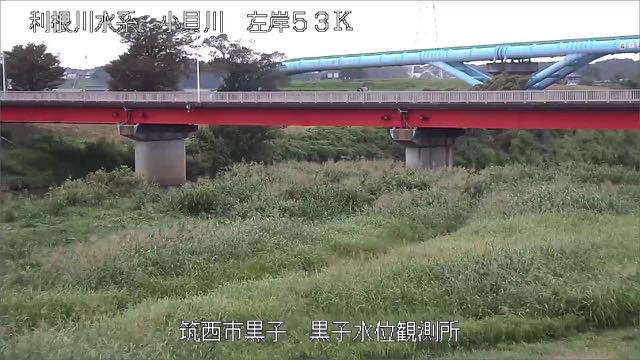
Kinu and Kokai rivers
Tochigi–Ibaraki · River
Two rivers rising in the mountains of Nikko that run south side by side into the Tone, with a long narrow plain held between them.
When to watch
Lake Yunoko lies at around 1,470 m, so its autumn colour comes early — late September into early October — and the lake freezes in winter. By the time Nikko down in the valley is at its best, the leaves up here may already have fallen.
Mount Nikko-Shirane is the highest peak in the Kanto region. It sits on the Gunma border, so pair it with the Gunma cameras to follow the same massif from another side.
The river stream is busiest from June to October, when the rainy front and the typhoons overlap. The rest of the year these are shallow rivers, with sandbars and riffles well exposed.
Closer looks at cameras here
Agencies publishing the cameras on this page
- Japan Meteorological Agency — volcano surveillance cameras (PDL 1.0) — Official site
- MLIT river live streams (Government Standard Terms 2.0) — Official site
- Ministry of the Environment — Internet Nature Institute (PDL 1.0) — Official site
The footage belongs to each agency. This site is an unofficial guide, and each sample frame was copied once per camera under that agency's terms of use.