Volcano
The Satsunan Volcanic Islands: 4 Live Cameras in Japan
Four volcanic islands strung out south of Kagoshima. Most days something is rising from a crater, and two of the four have had to evacuate everyone who lived there.
What you can see
South of Sakurajima the volcanoes keep going, out across open water. All four islands on this page are on the Meteorological Agency's list of continuously monitored volcanoes — you can only reach them by scheduled ferry, but the cameras run every two minutes regardless.
North to south. Satsuma-Iojima has white smoke rising steadily from Mount Iodake, and is known for the sea around it turning red-brown from dissolved iron. Kuchinoerabujima was evacuated completely after the 2015 eruption; the vents on Mount Shindake can be seen from Yakushima. Nakanoshima is the largest of the Tokara Islands, with the cone of Mount Otake taking up its northern half. Suwanosejima erupts repeatedly, and days with ash coming out of the crater are not unusual.
Open the four in a row and you get a sense of what an active volcano is like as an ordinary thing. Eruption sounds like an event; here, smoke is the normal state, and a completely clean summit is the surprise.
Cameras you can watch now: 4
All 4 are still images. Tap one to open it in the camera list.
-
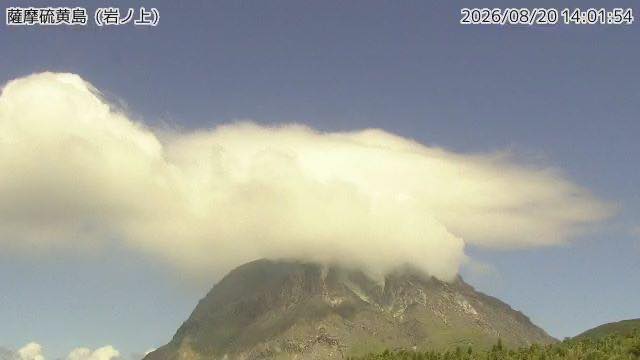 Sample August 2026
Satsuma Iwojima
Kagoshima · Volcano · Sea
An island where Mount Io gives off a white plume without stopping. Known for the iron leaching out and staining the sea around it red-brown.
-
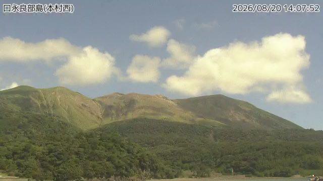 Sample August 2026
Kuchinoerabujima
Kagoshima · Volcano · Sea
The whole island was evacuated after the 2015 eruption. Steam rises from the Shindake crater, visible even from Yakushima.
-
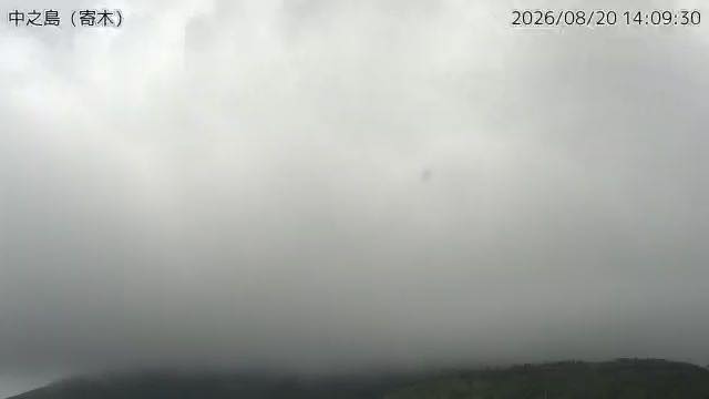 Sample August 2026
Nakanoshima
Kagoshima · Volcano · Sea
The largest island in the Tokara chain. The cone of Mount Otake takes up its northern half, with steam coming from near the summit.
-
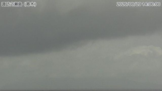 Sample August 2026
Suwanosejima
Kagoshima · Volcano · Sea
An island that erupts repeatedly, throwing ash from the crater on many days. The settlement is well away from it.
When to watch
Morning. Plumes read white and dense in cold air and go thin as the day warms. By early afternoon, in humid air, you cannot tell a plume from a cloud.
Season: winter. This is a subtropical stretch of ocean and cloud is the default all year, especially through the rainy season and summer. November to March is when the air dries enough to give you an island outline.
Nights go genuinely black. There is almost no town lighting, so between sunset and sunrise there is nothing to see — unless an eruption is under way, when the crater itself can glow red.
These islands sit upwind of Kyushu in typhoon season and get rough before the mainland does. If you want a look at what is coming, these four are the marker posts.
If it isn't showing
All four are Meteorological Agency monitoring cameras, all stills. There is almost no town lighting on these islands, so from sunset to sunrise the frame is close to black. Every one of them can be reached only by scheduled boat, yet the cameras themselves refresh every two minutes.
All four islands belong to Kagoshima. Open them straight after Sakurajima, the northern end of the chain, and the line of volcanoes running south becomes obvious.
The same agency also watches The Kirishima range, Mount Aso, Kuju and Tsurumi and Mount Unzen. For island volcanoes reachable only by boat, the closest page in character is The Izu Islands, out in the sea to the east.
Where to find The Satsunan Volcanic Islands
Agencies publishing the cameras on this page
- Japan Meteorological Agency — volcano surveillance cameras (PDL 1.0) — Official site
The footage belongs to each agency. This site is an unofficial guide, and each sample frame was copied once per camera under that agency's terms of use.